


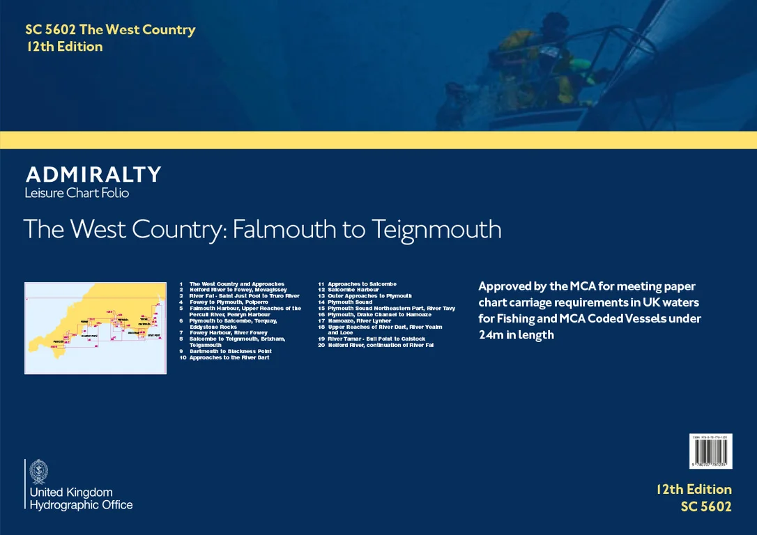
Description
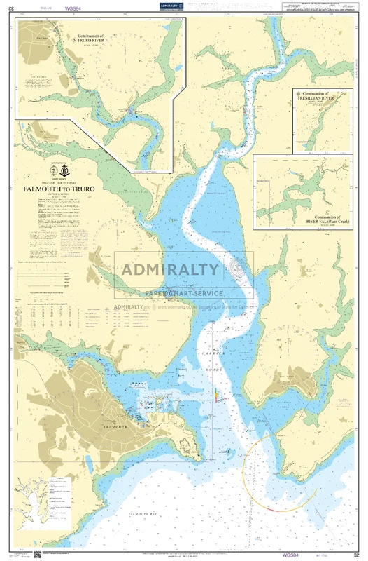
Seekarte UKHO32 – Falmouth to Truro
Die amtliche ADMIRALTY-Seekarte UKHO32 deckt als großmaßstäbliche Hafenkarte das Revier Falmouth to Truro im Maßstab 1:12.500 ab. Das Kartengebiet liegt im Bereich Ärmelkanal / Großbritannien. Im Kartengebiet liegt unter anderem Falmouth. Für die weiträumigere Planung lässt sie sich mit UKHO154 (Approaches to Falmouth) kombinieren.
| Maßstab | 1:12.500 |
|---|---|
| Format | DIN A0 |
| Revier | Ärmelkanal, Großbritannien, England |
| Produktnummer | 24779 |
| Hersteller-Nr. | UKHO32 |
| Internationale Nr. | INT 1720 |
| Herausgeber | ADMIRALTY (UKHO) |
Amtliche Seekarte nach SOLAS-Standard für die Berufsschifffahrt. Bei HanseNautic im Print-on-Demand-Verfahren mit aktuellem Berichtigungsstand gedruckt, in der Regel am Tag des Bestelleingangs versandfertig. POD-Karten sind vom Umtausch ausgeschlossen.
Reviews
There are no reviews yet.