


Description
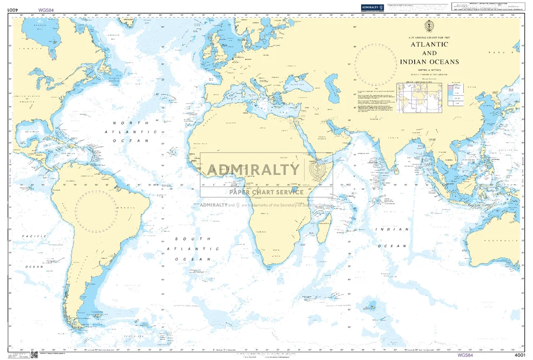
Seekarte UKHO4001 – A Planning Chart for the Atlantic and Indian Oceans
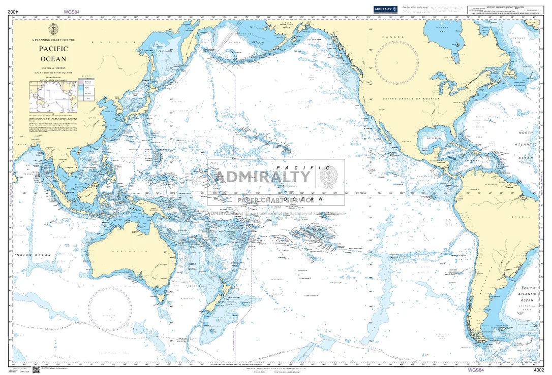
Die amtliche ADMIRALTY-Seekarte UKHO4001 erfasst als großräumige Übersegelkarte das Seegebiet A Planning Chart for the Atlantic and Indian Oceans im Maßstab 1:27.000.000. Sie deckt einen großräumigen Abschnitt im Bereich Indischer Ozean ab und dient vor allem der Passage- und Routenplanung über See. Für noch größere Seegebiete lässt sie sich mit UKHO4002 (A Planning Chart for the Pacific Ocean) kombinieren.
| Maßstab | 1:27.000.000 |
|---|---|
| Format | DIN A0 |
| Revier | Indischer Ozean |
| Produktnummer | 27481 |
| Hersteller-Nr. | UKHO4001 |
| Herausgeber | ADMIRALTY (UKHO) |
Amtliche Seekarte nach SOLAS-Standard für die Berufsschifffahrt. Bei HanseNautic im Print-on-Demand-Verfahren mit aktuellem Berichtigungsstand gedruckt, in der Regel am Tag des Bestelleingangs versandfertig. POD-Karten sind vom Umtausch ausgeschlossen.
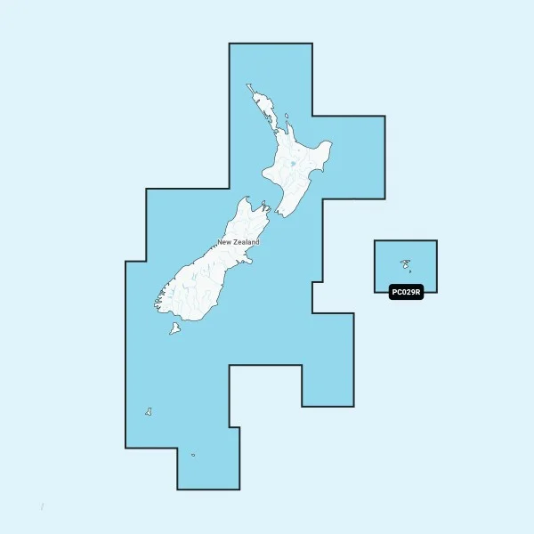 Garmin Navionics+ PC029R Neuseeland
  Staubsauger Nass/Trocken
 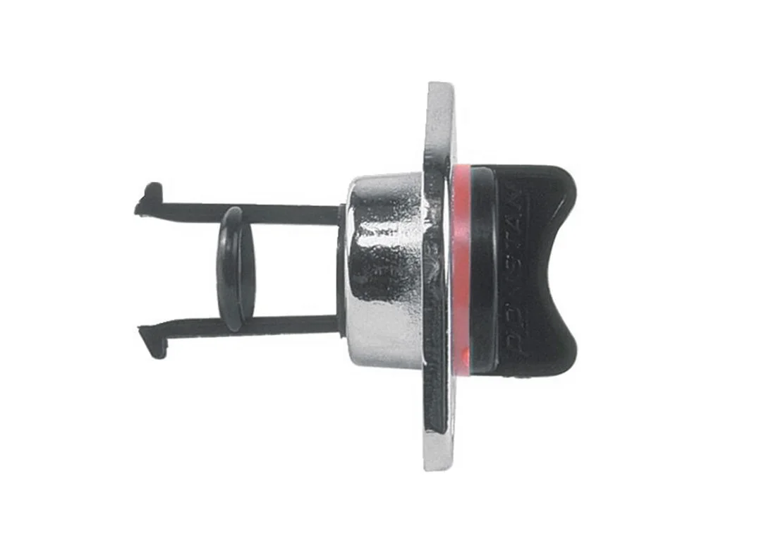 Decksdurchführung verchromt 3/4 Zoll 24mm
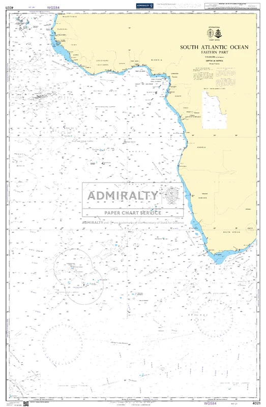
  CAN 4021
 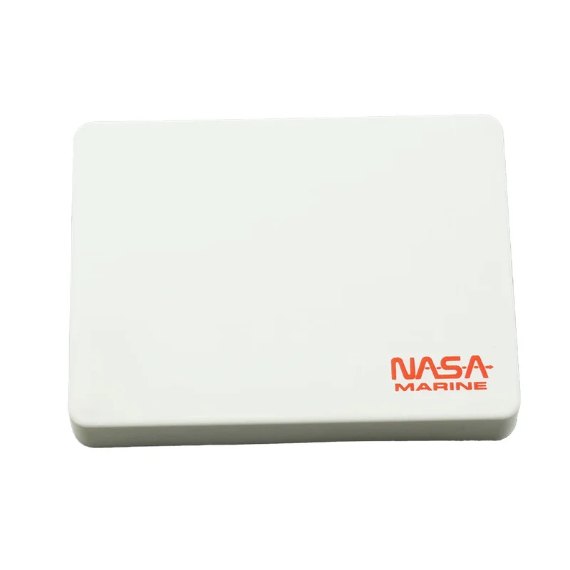 NASA Schutzkappe für TARGET
Reviews
There are no reviews yet.