


Description
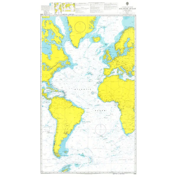
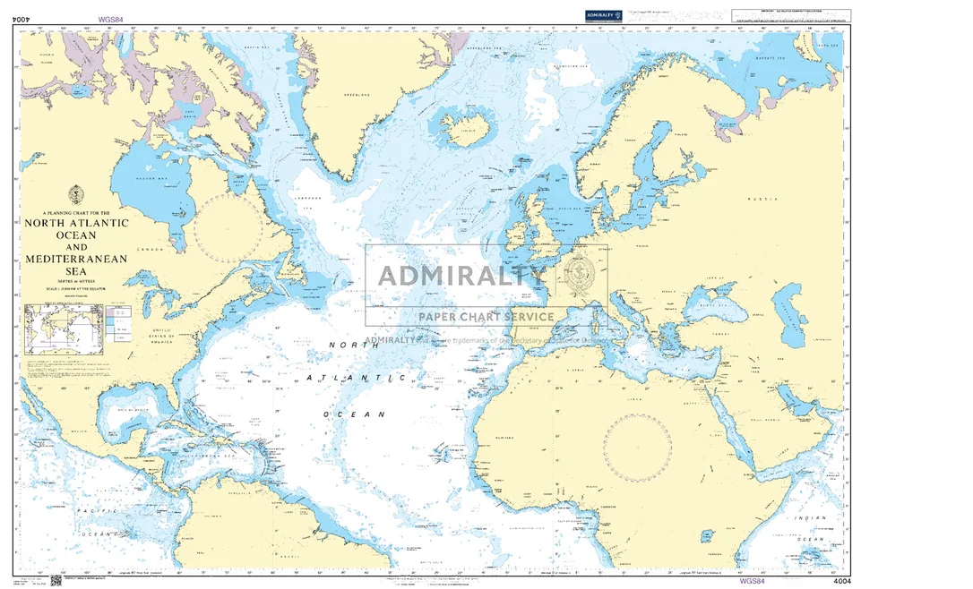
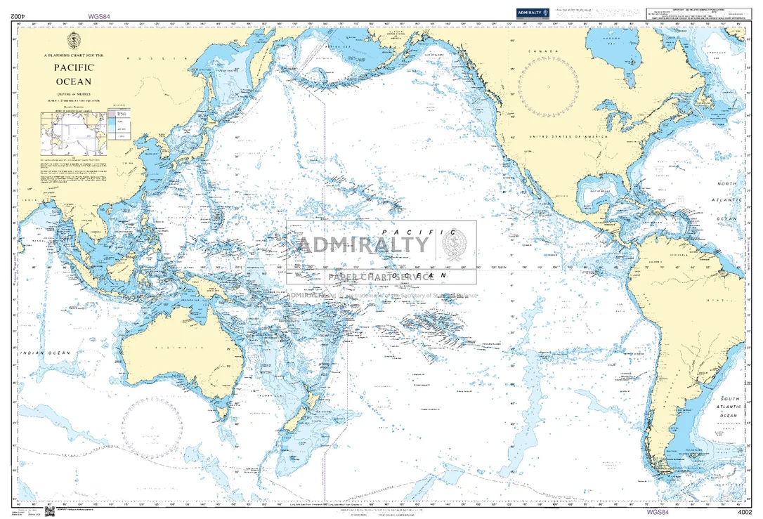
Seekarte UKHO4004 – A Planning Chart for the North Atlantic Ocean and Mediterranean Sea
Die amtliche ADMIRALTY-Seekarte UKHO4004 erfasst als großräumige Übersegelkarte das Seegebiet A Planning Chart for the North Atlantic Ocean and Mediterranean Sea im Maßstab 1:20.000.000. Sie deckt einen großräumigen Abschnitt im Bereich Nordatlantik ab und dient vor allem der Passage- und Routenplanung über See. Für noch größere Seegebiete lässt sie sich mit UKHO4008 (A Planning Chart for the North Pacific Ocean) kombinieren.
| Maßstab | 1:20.000.000 |
|---|---|
| Format | DIN A0 |
| Revier | Nordatlantik |
| Produktnummer | 27484 |
| Hersteller-Nr. | UKHO4004 |
| Herausgeber | ADMIRALTY (UKHO) |
Amtliche Seekarte nach SOLAS-Standard für die Berufsschifffahrt. Bei HanseNautic im Print-on-Demand-Verfahren mit aktuellem Berichtigungsstand gedruckt, in der Regel am Tag des Bestelleingangs versandfertig. POD-Karten sind vom Umtausch ausgeschlossen.
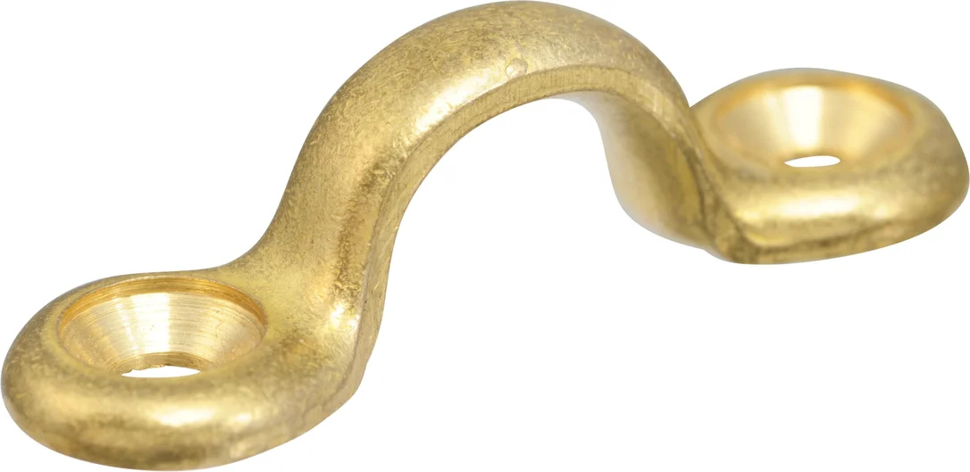 Fenderöse aus Messing DAVEY
  Liros Handy-Elastic schwarz Ø18mm 10m
 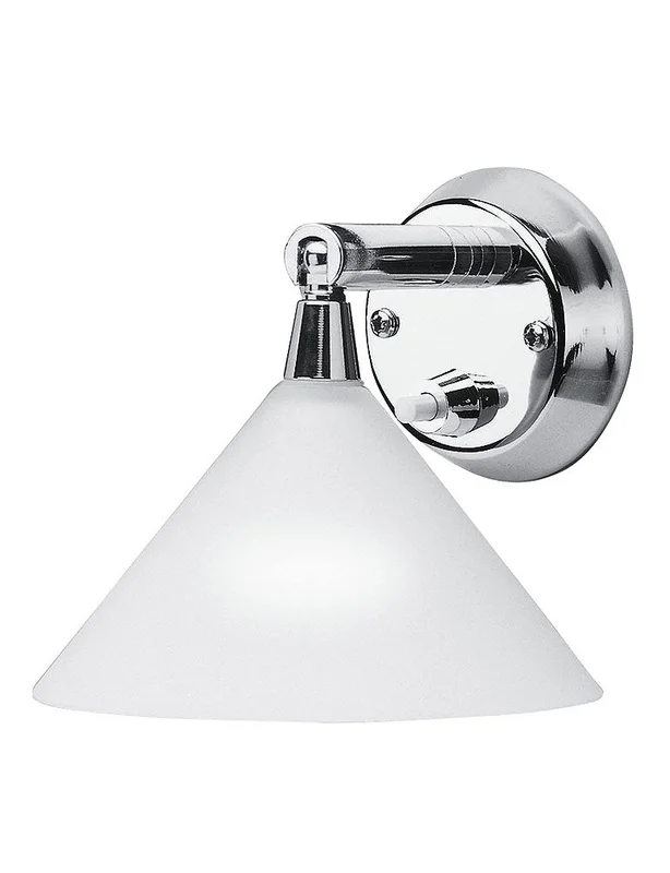 Cabin Leuchte Concorde II
  Racer XTR 2008
 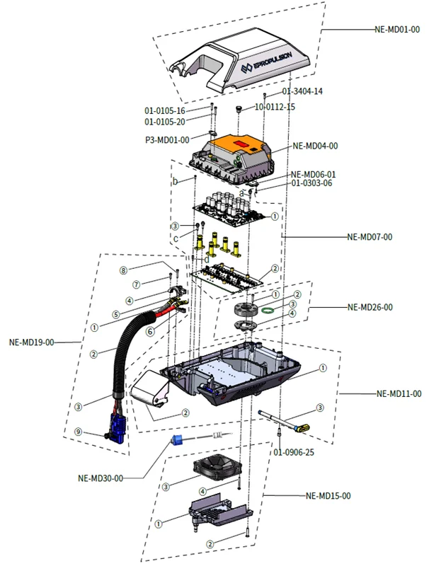 ePropulsion Navy 6.0 Evo Top Case-Ersatzteile
 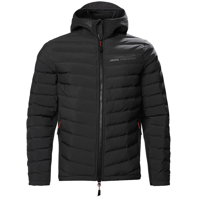 Musto Evolution Aeroloft® Kapuzen-Steppjacke
 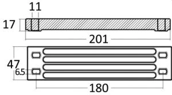 Magnesiumanode f. Yamaha
 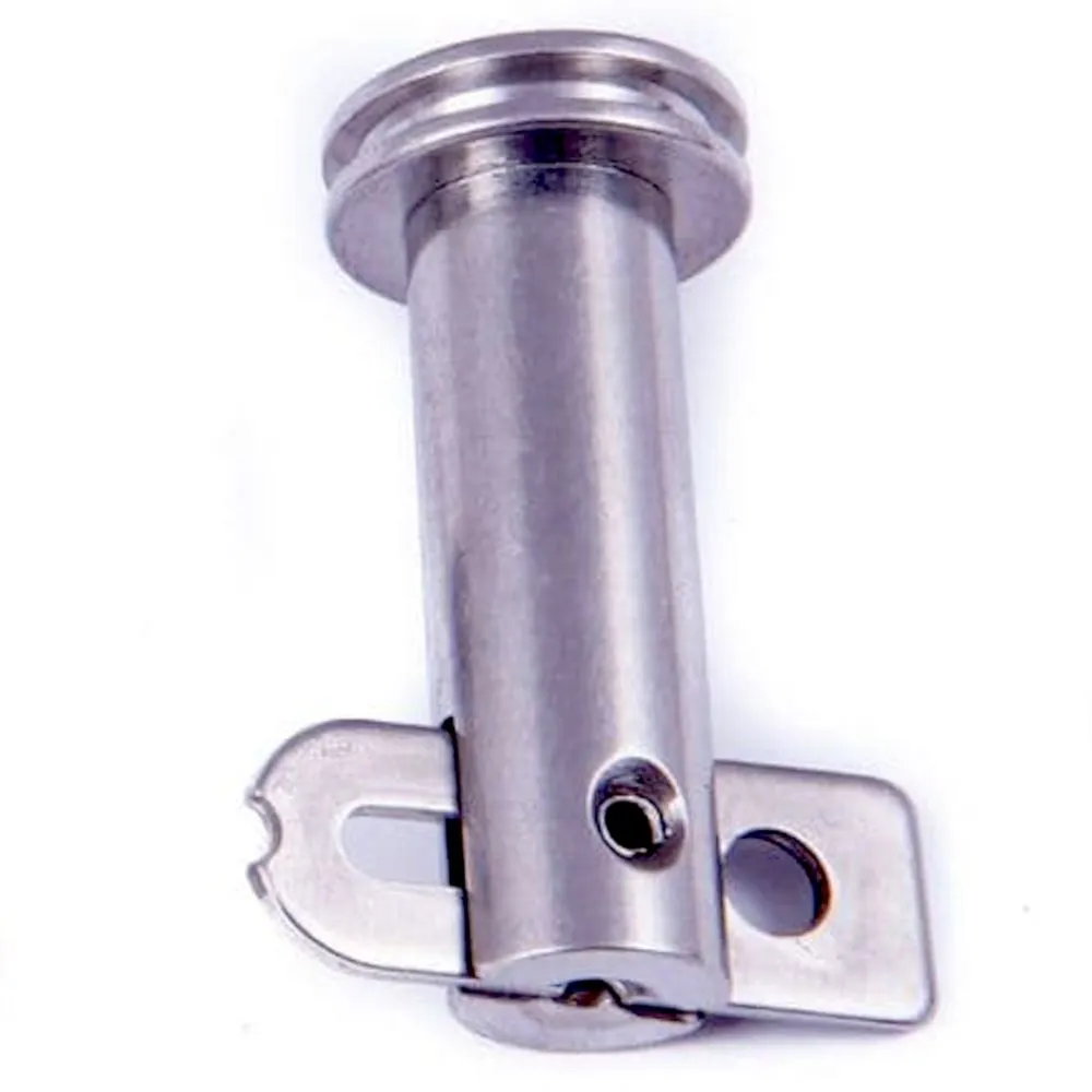 Lindemann Seasure Klappnasenbolzen Edelstahl 6mm x 20mm - JS Maritimshop & Bootsservice
  Sonnenschirm Sun Set Curtain, 940x580mm (lxb), Lukenma
 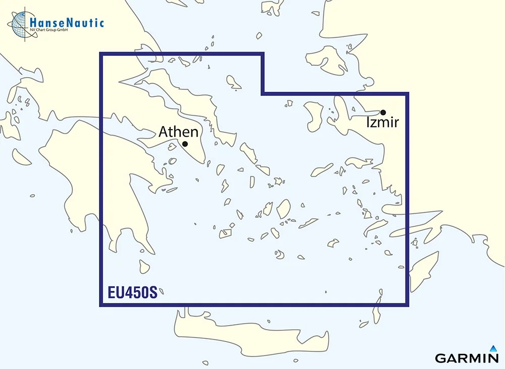 BlueChart Mittelmeer, Athen bis Kykladen, g3 Vision VEU450S
 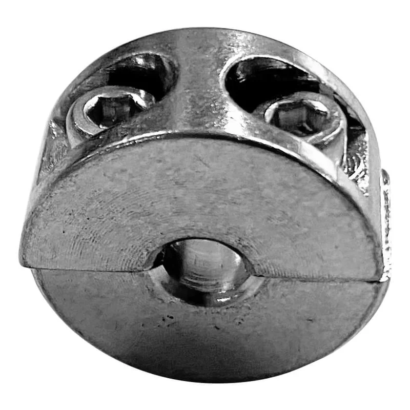 Klemmring Aisi 316 Draht-Ø 5 mm
 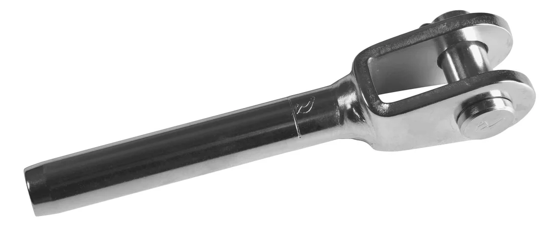 Gabelterminal Niro Bolzen Ø 5 mm Draht Ø 3 mm
 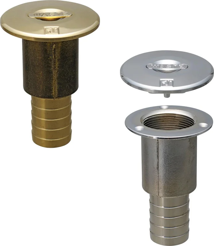 Tank-Absaugstutzen Messing mit Griff
 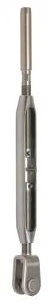 Seldén Spanner BRO 3/4'' Gabel mit ø19mm Bolzen/Studter
 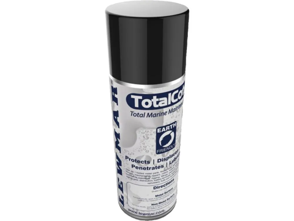 Lewmar Total Cote Multispray 400ml Winschen Luken Blöcke - JS Maritimshop & Bootsservice
 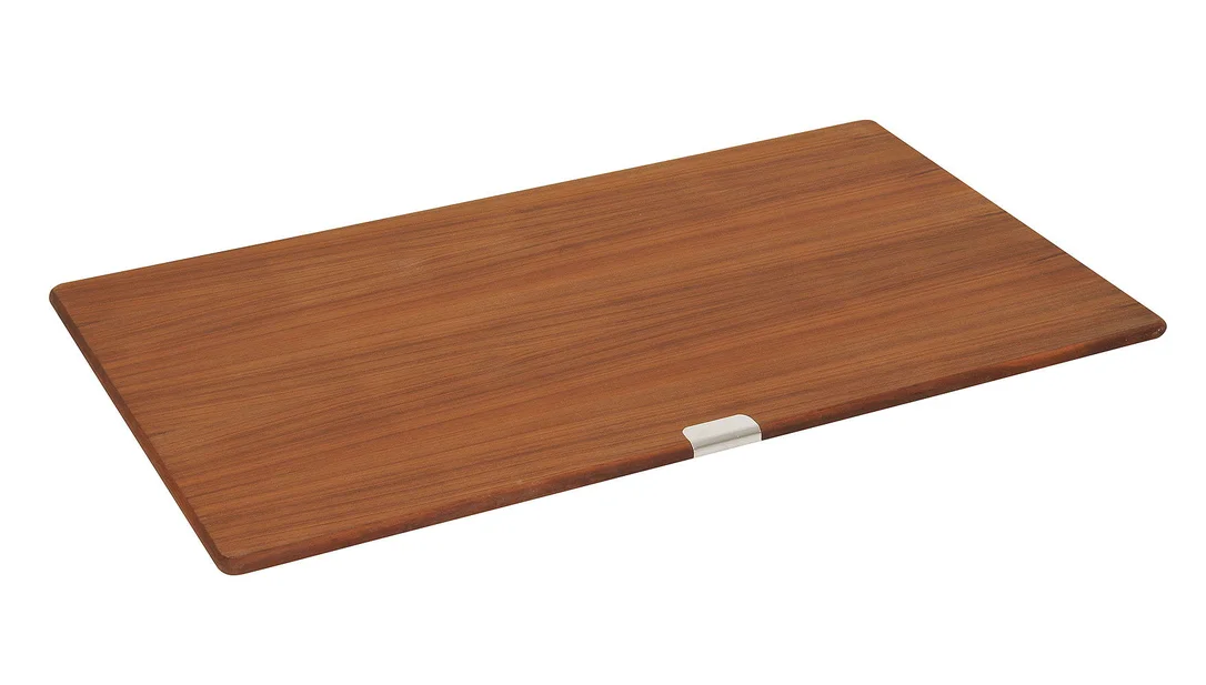 Teakplatte
 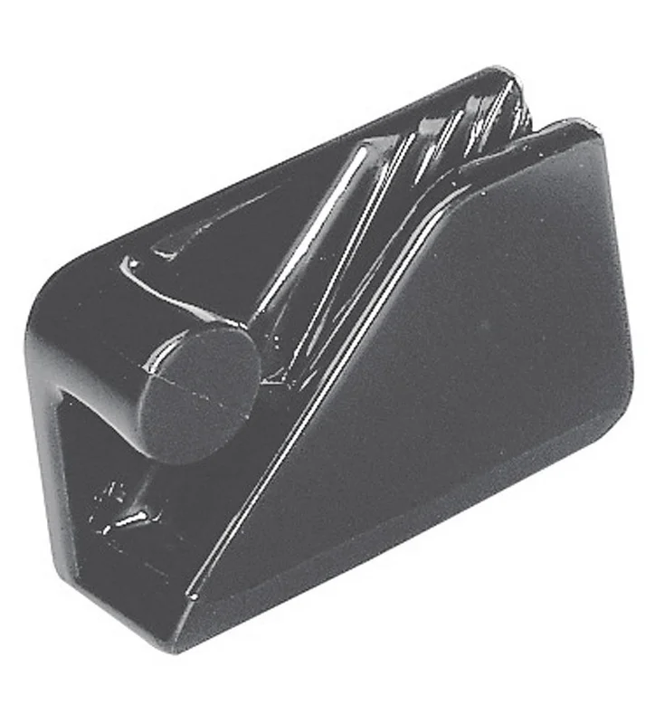 CL234 Fendercleat
 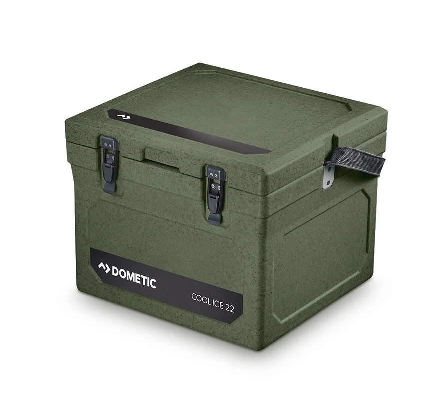 Dometic Isolierbox CoolIce
 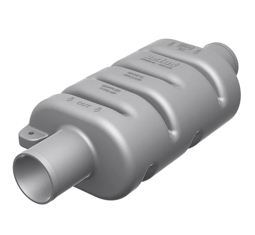 Schalldämpfer Typ DEMPMP
 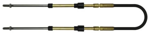 Schaltkabel CC330 20 ft
  Linsenkopfblechschraube
  T Schiene (20 x 3)
 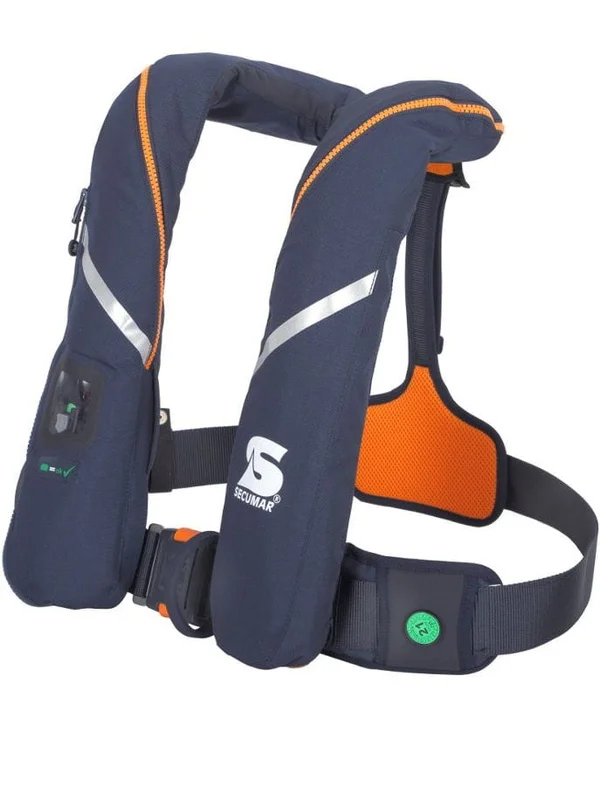 SECUMAR SURVIVAL 275 DUO PROTECT Rettungsweste
 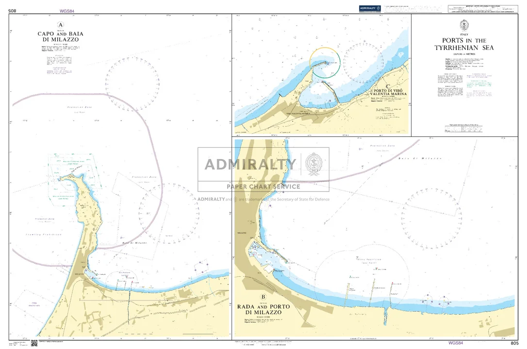 Ports in the Tyrrhenian Sea. UKHO805
 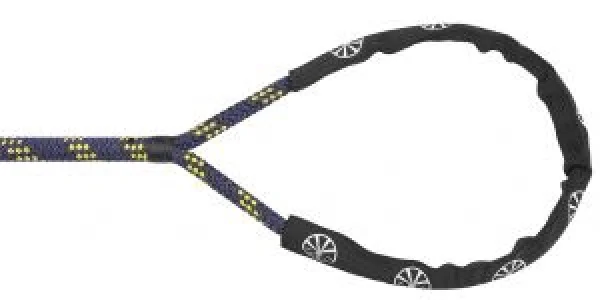 Liros Handy-Elastic weiß-schwarz-rot Ø12mm 10m
 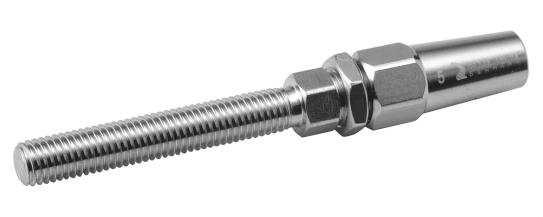 SB Gewindeterminal Draht-Ø 4 mm M6
 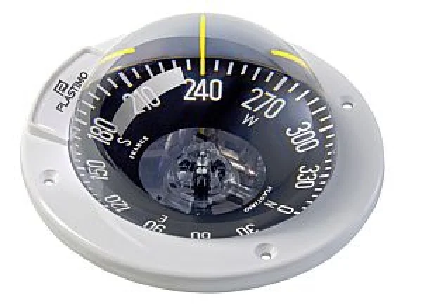 OLympic 100, weisser Rand, schwarze flache Rose
 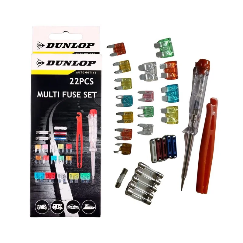 DUNLOP Multisicherungs-Set
 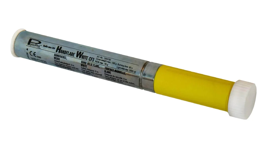 Handfackel weiß Pyropol
 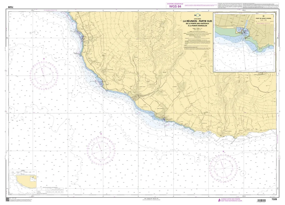 Shom 7328 - La Réunion - Partie Sud - De la Pointe des Châteaux à la Pointe Marcellin
 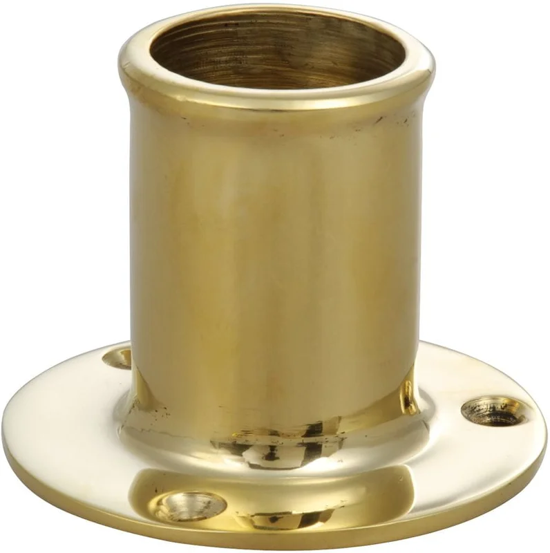 Flaggstockhalter gerade, Messing poliert oder verchromt
 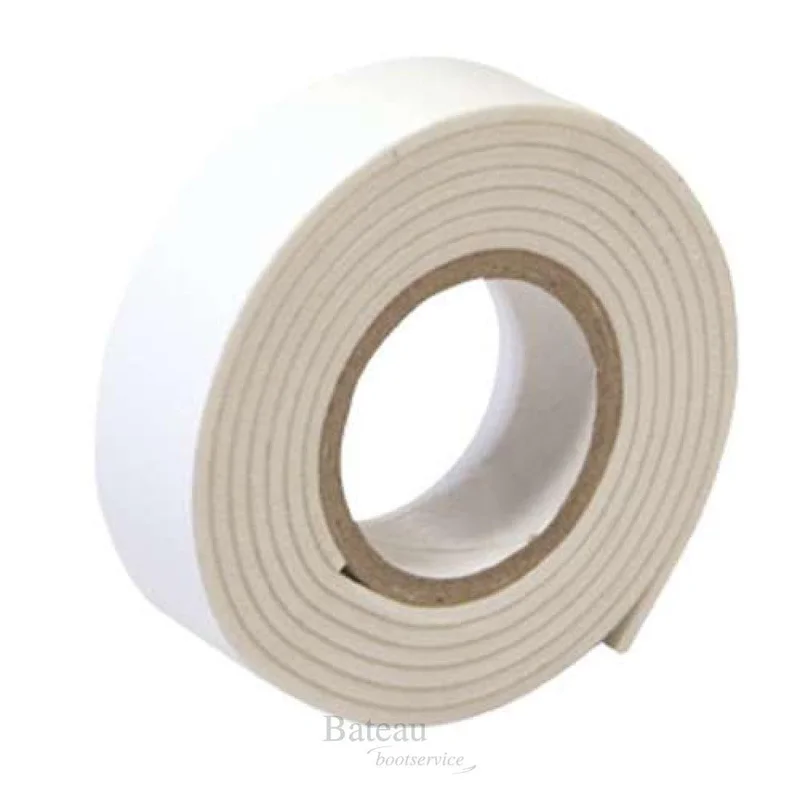 DOPPELSEITIGES KLEBEBAND
  Osculati Relingschoner
 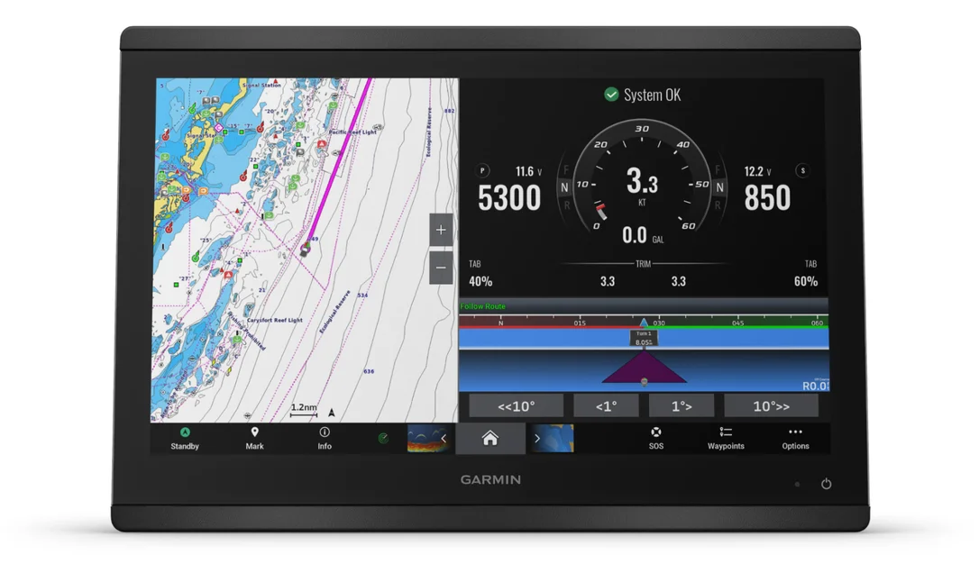 GPSMAP Serie 8416
 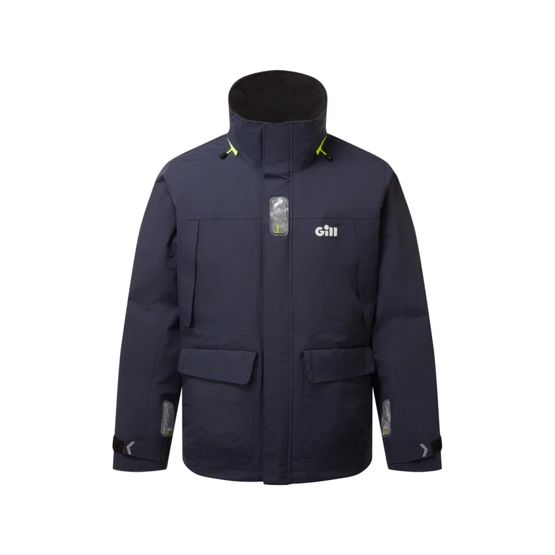 Gill OS34J Segeljacke Coastal Herren marineblau, Größe XXL
 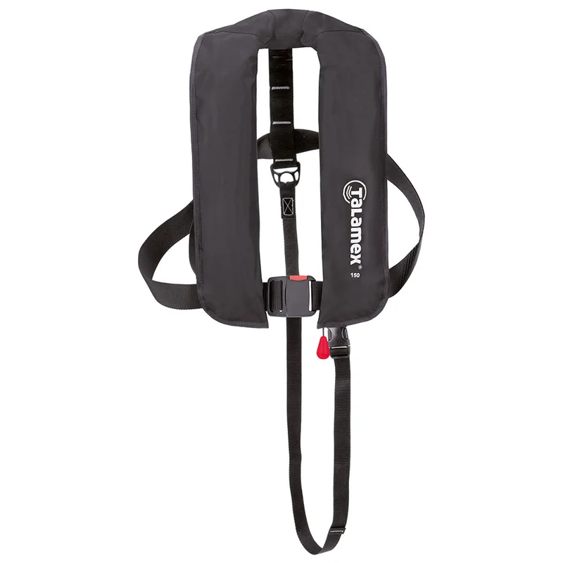 Talamex Automatik Rettungsweste
 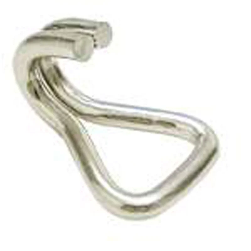 Gurtbandhaken
 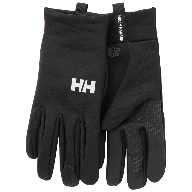 HH Fleece Touch Handschuh
 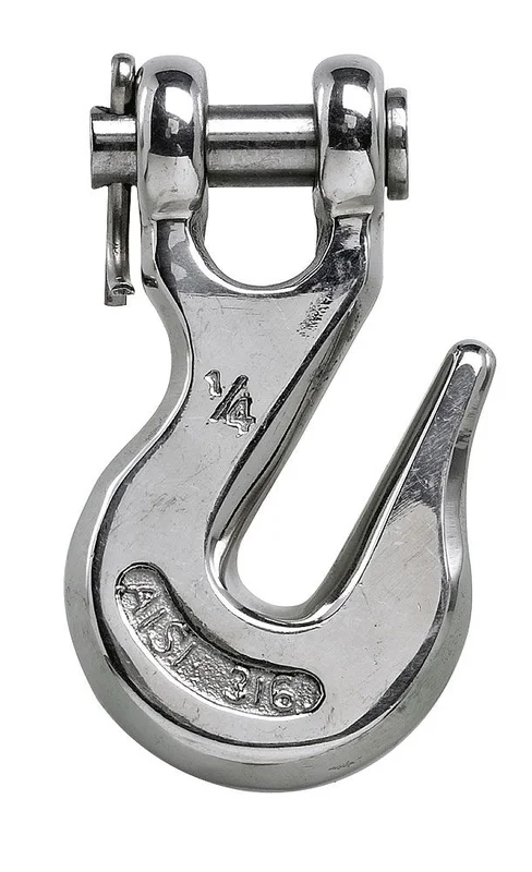 Kettenfanghaken
  Bootsschuh SS BREEZE Weiß 47
 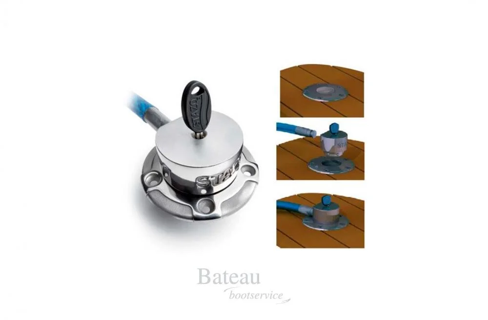 STAZO Decklock QL + Kabel Lasso 2,5 m, Ø 20 mm
 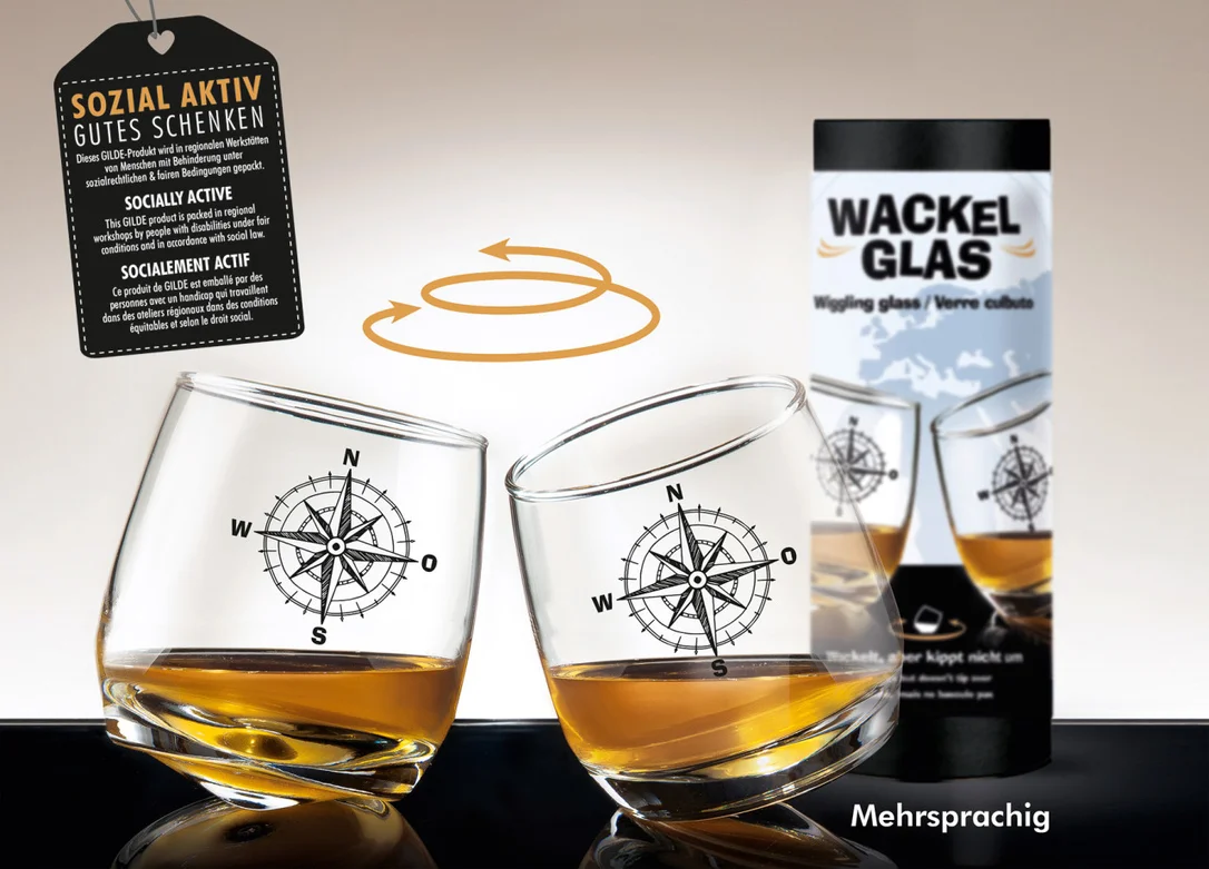 Wackelglas Windrose
 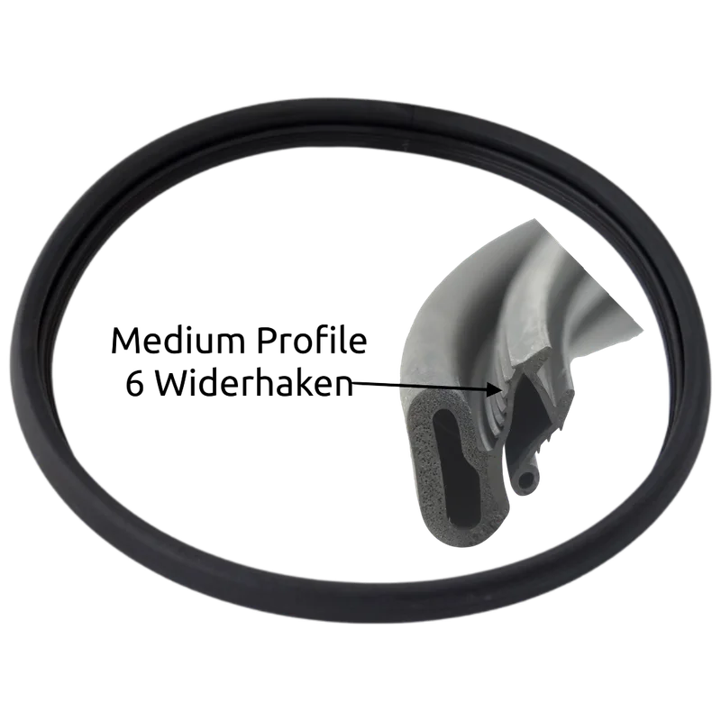 Lewmar Seal-Kit für Medium Profile Luken
  Compass Sonnenbrille Classic´s
 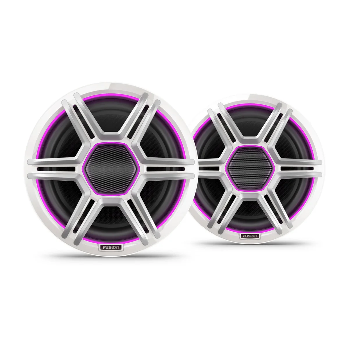 Fusion Lautsprecher der Apollo Serie
 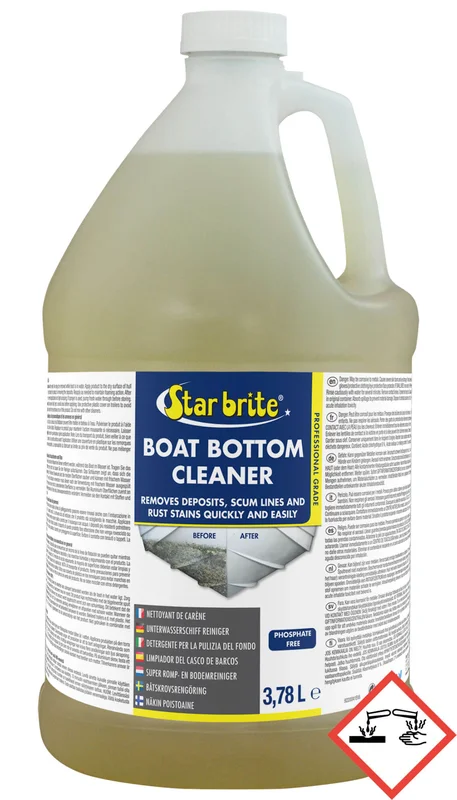 Boat Bottom Cleaner 3785 ml
  NOVABLOCK 57MM EINF.M.KL.U.UB.
 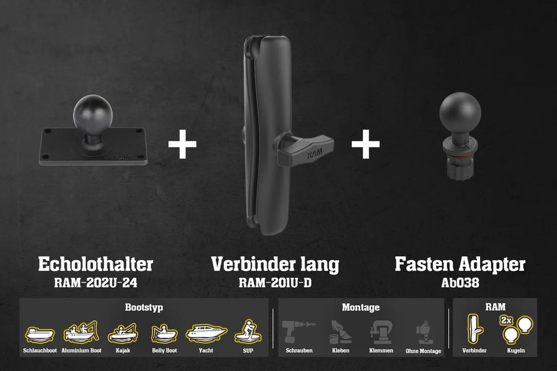 [Set] Set: Humminbird Fishfinder Halterung für Fasten/Railblaza/Scotty mit RAM Kugeln & Verbinder | Lotu
 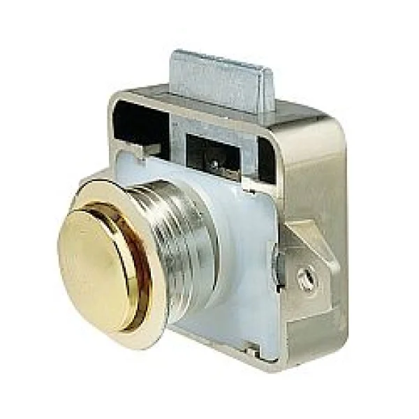 Vetus Druckknopfverschl Messing
Reviews
There are no reviews yet.