


Description
Praktisches Set vom Bristol Channel zwischen England und Wales
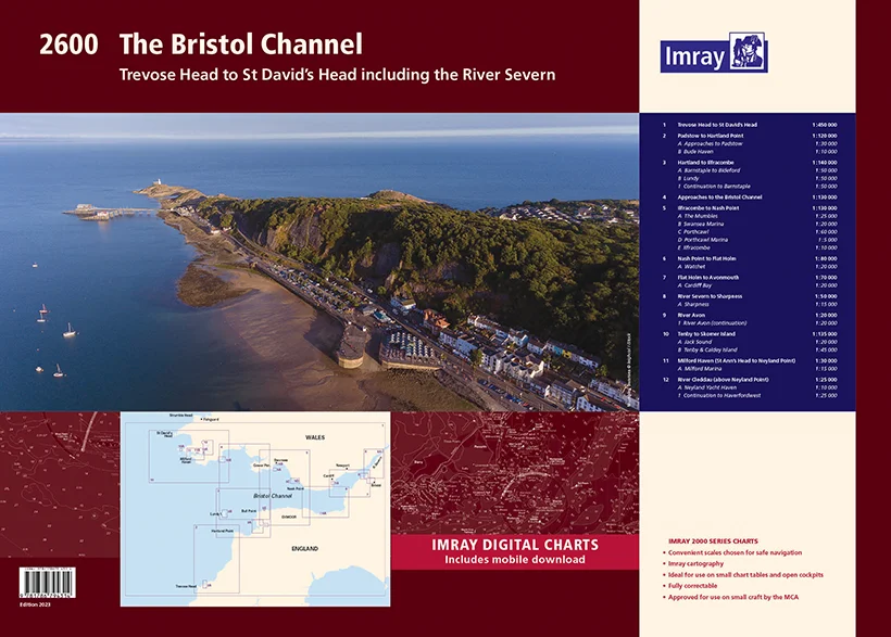
Als Teil der Serie von Sportbootkartensätzen des britischen Herstellers IMRAY deckt dieser Sportbootkartensatz IMRAY Atlas 2600 Bristol Channeldie Kanaleinfahrt auf der Höhe von Trevose Head bis ins nörliche St. David`s Head ab. Der Atlas ist spiralgebunden und bündelt 12 Karten. Die Karten sind teils im Hochformat, teils im Querformat. Für diese Ausgabe vomMärz 2023wurden die neuesten Tiefenmessungen angewendet. Die Kartenspezifikation wurde verbessert, um farbige Lichtblitze anzuzeigen. Es wurden allgemeine Aktualisierungen vorgenommen.Die Karten sind in dem verlagseigenen Farbbild (Wasser blau, Flachwasser weiß, Land grün) gehalten. Lieferung in durchsichtiger Plastiktasche.
Gebiet und Abdeckung:
-Trevose Head to St David’s Head
-Padstow to Hartland Point, Plans Approaches to Padstow, Bude Haven
-Hartland to Ilfracombe, Plans Barnstaple to Bideford, Lundy, Continuation to Barnstaple
-Approaches to the Bristol Channel
-Ilfracombe to Nash Point, Plans The Mumbles, Swansea Marina, Porthcawl, Ilfracombe
-Nash Point to Flat Holm, Plans Watchet
-Flat Holm to Avonmouth, Plans Cardiff Bay
-River Severn to Sharpness, Plans Sharpness
-River Avon, Plans River Avon (continuation)
-Tenby to Skomer Island, Plans Jack Sound, Tenby Caldey Island
-Milford Haven – St Ann’s Head to Neyland Point, Plans Milford Marina
-River Cleddau – above Neyland Point, Plans Neyland Yacht Haven, Continuation to Haverfordwest
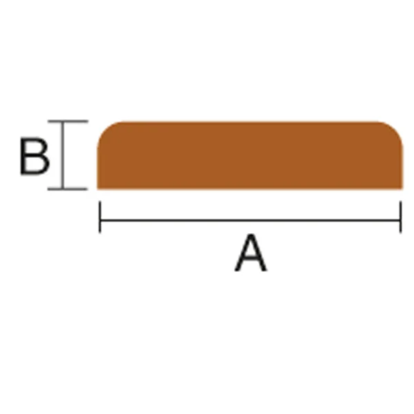 Roca, Teak Deck Leiste 19x7mm, 2m
  Glückwunschseekarte Schiffstaufe Segelboot
 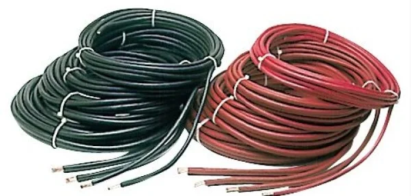 Kupfer-Batteriekabel schwarzQuerschnitt 70 mm
 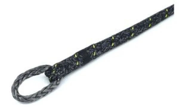 Spleißservice Augspleiß / Auge ohne Mantel
 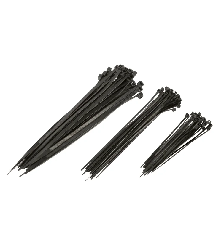 Kabelbindersortiment 75tlg. schwarz
 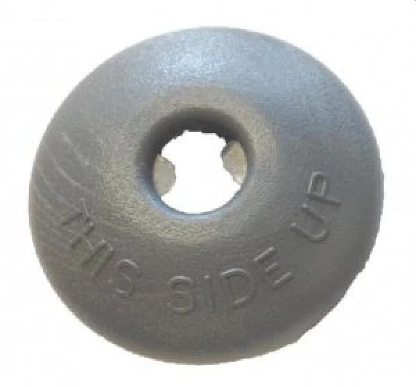 Furlin-Pufferscheibe ø70/18 x 20mm Grau
 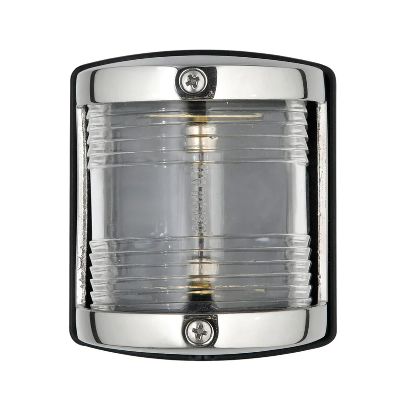 Positionsleuchte 14/25 Bug Niro
 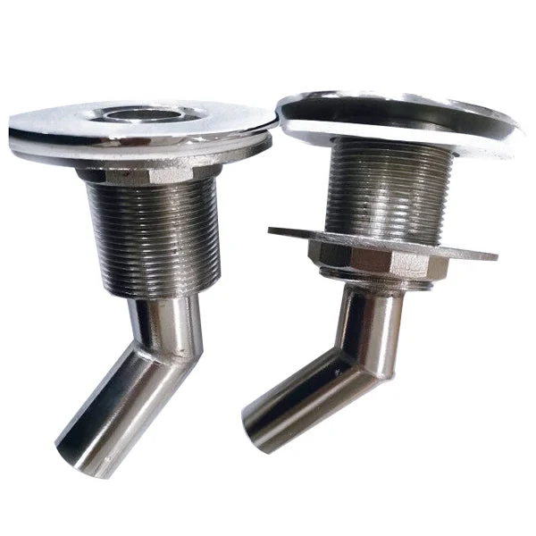 1852, Rumpfdurchdringung Modell L mit 22 mm Gewinde, 2kW
 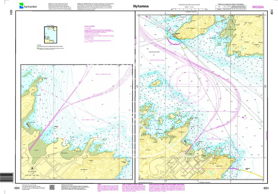 Norwegen N 494 Atlantik - Nyhamna
  T-Kupplung Ø12mm für Kanalrohrsystem, 60 °C
  Old Head of Kinsale to Power Head. UKHO1765
Reviews
There are no reviews yet.