


Description
Set für die Irische See zwischen Wales und Irland
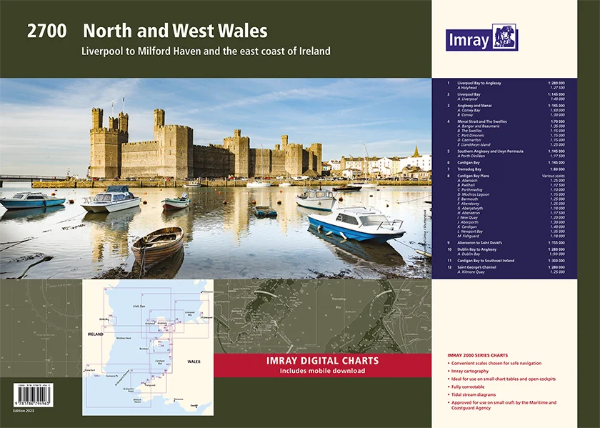
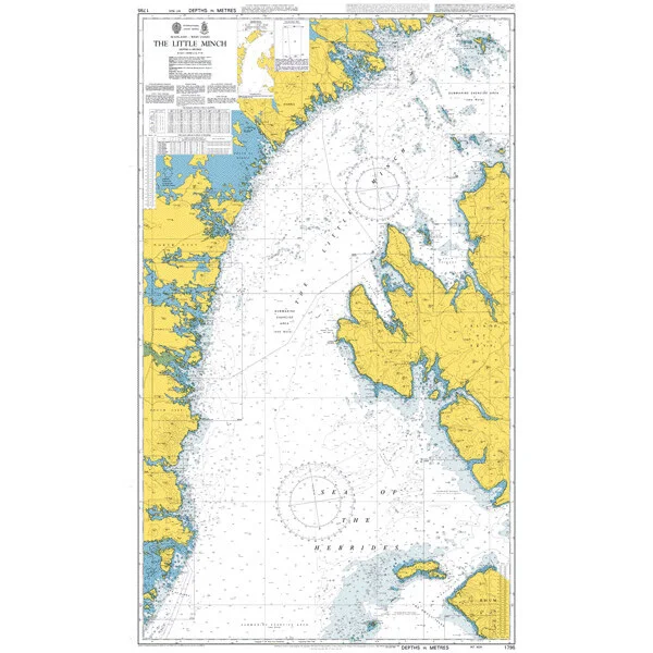
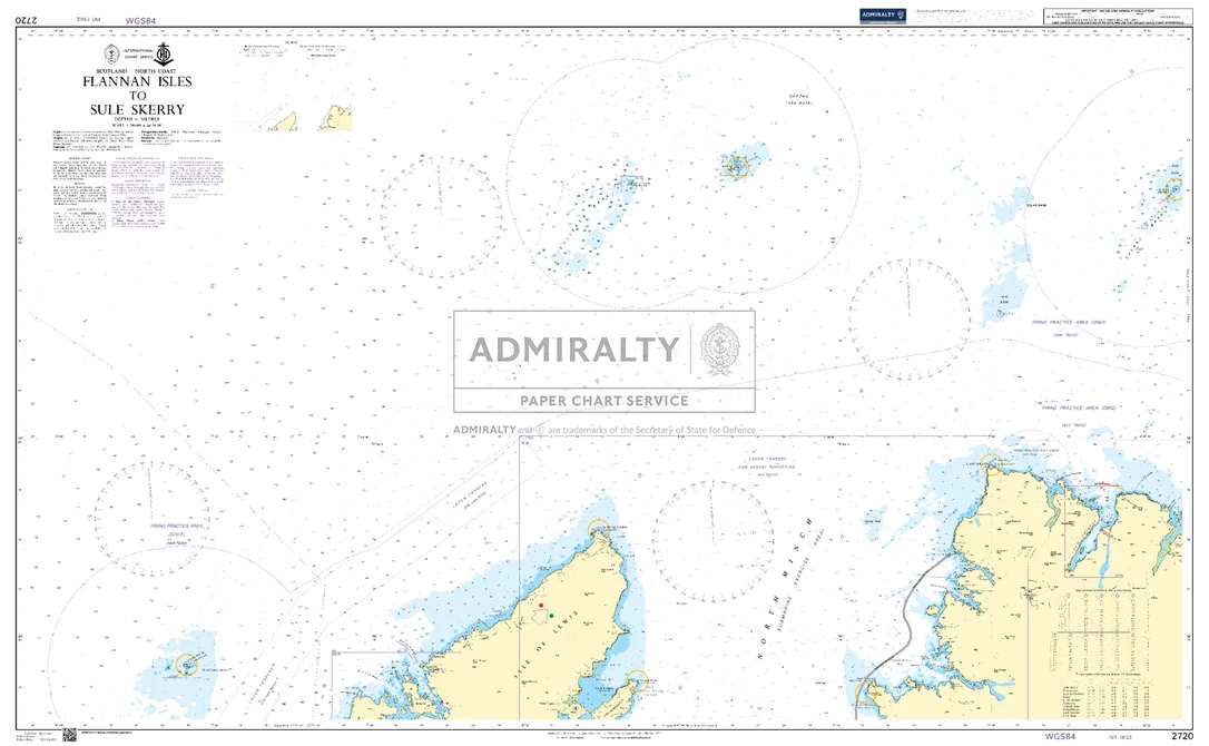
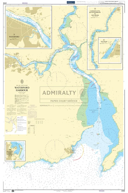
Als Teil der Serie von Sportbootkartensätzen des britischen Herstellers IMRAY deckt dieser Sportbootkartensatz IMRAY 2700 North West Walesvon Milfod Haven in derkeltischen See bis nach Fleetwood auf englischer Seite und Dundalk auf irischer Seite ab.Natürlich sind Liverpol und Dublin mit extra Karten dabei. Der Atlas ist spiralgebunden und bündelt 13 Karten. Die Karten sind teils im Hochformat, teils im Querformat. Diese Ausgabe vom Juli 2023 wurde durchgehend aktualisiert, mit den neuesten bekannten Tiefenmessungen und aktuellen Windparkinformationen.
Die Karten sind in dem verlagseigenen Farbbild (Wasser blau, Flachwasser weiß, Land grün) gehalten. Lieferung in durchsichtiger Plastiktasche.
Gebiet und Abdeckung:
-Liverpool Bay to Anglesey, Plan Holyhead
-Liverpool Bay, Plan Liverpool
-Anglesey and Menai, Plans Conwy Bay, Conwy
-Menai Strait and The Swellies, Plans Bangor and Beaumaris, The Swellies, Port Dinorwic, Caernarfon, Llanddwyn Island
-Southern Anglesey and Lleyn Peninsula, Plan Porth Dinlläen
-Cardigan Bay,Tremadog Bay
-Cardigan Bay Plans, Plans Abersoch, Pwllheli, Porthmadog, Mochras Lagoon, Barmouth, Aberdovey, Aberystwyth, Aberaeron, New Quay, Aberporth, Cardigan, Newport Bay, Fishguard
-Aberaeron to St David’s
-Dublin Bay to Anglesey, Plan Dublin Bay
-Cardigan Bay to South East of Ireland
-St George’s Channel, Plan Kilmore Quay
 Lautsprecher m.Doppelkegel ultra slim 6,5" schwarz
 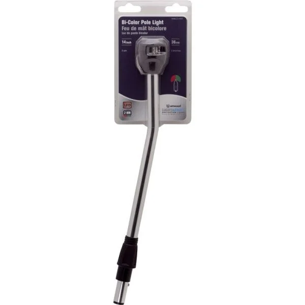 Attwood Kombilicht LED Lightarmor Gelenk 25cm
 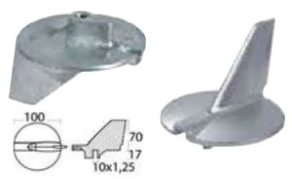 Richtungsanode aus Magnesium f. Yamaha 225/300 PS
 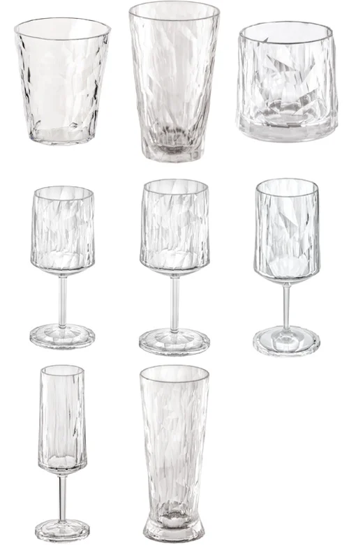 Superglas CLUB No.1 Wassergläser
  Quicksilver, 8M6007394 Starter 12-volt
  Ringbolzen mit Mutter M10
 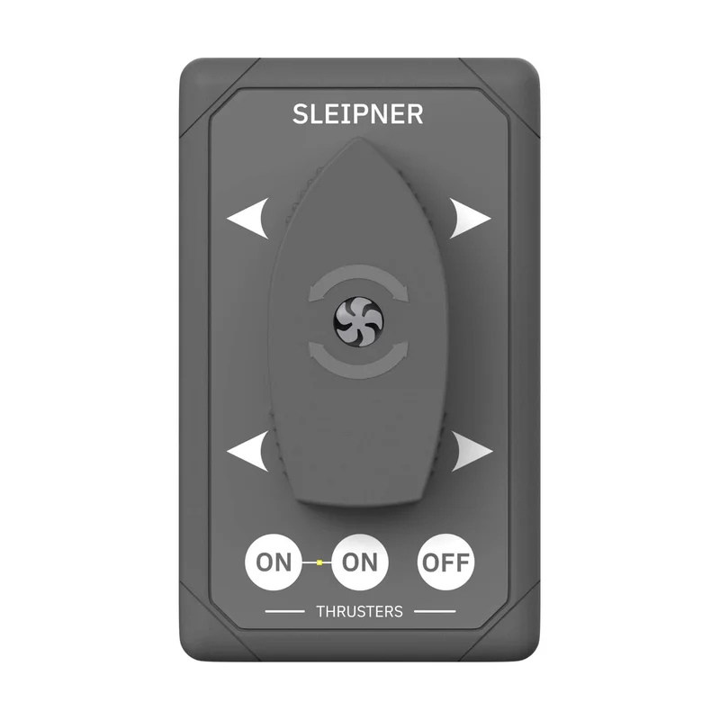 Side Power Panel Docking
 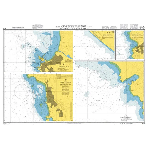 Harbours on the West Coasts of Namibia and South Africa. UKHO4136
 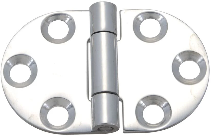 Scharnier Edelstahl flach abgerundet
 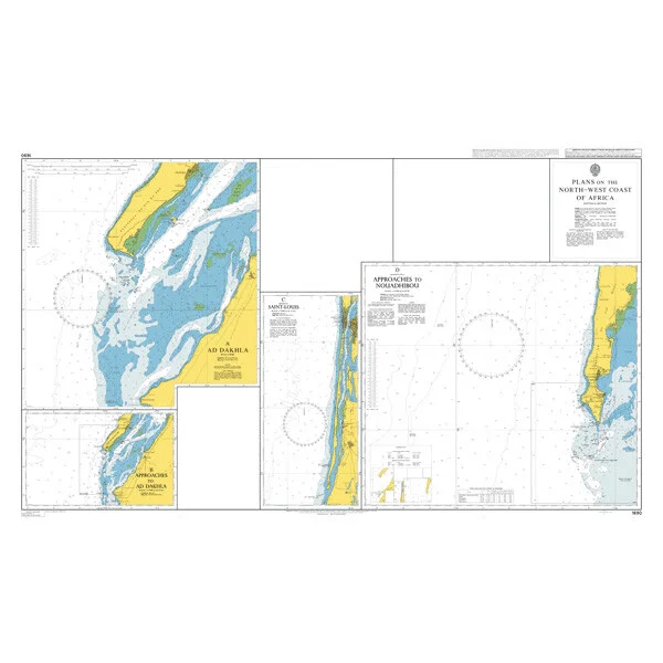 Plans on the North-West Coast of Africa. UKHO1690
 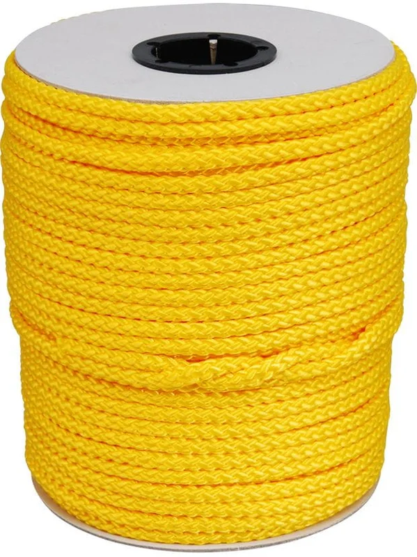 Bändselgut gelb
  B&G Zeus 3S 16 Kartenplotter mit Touch-Display
 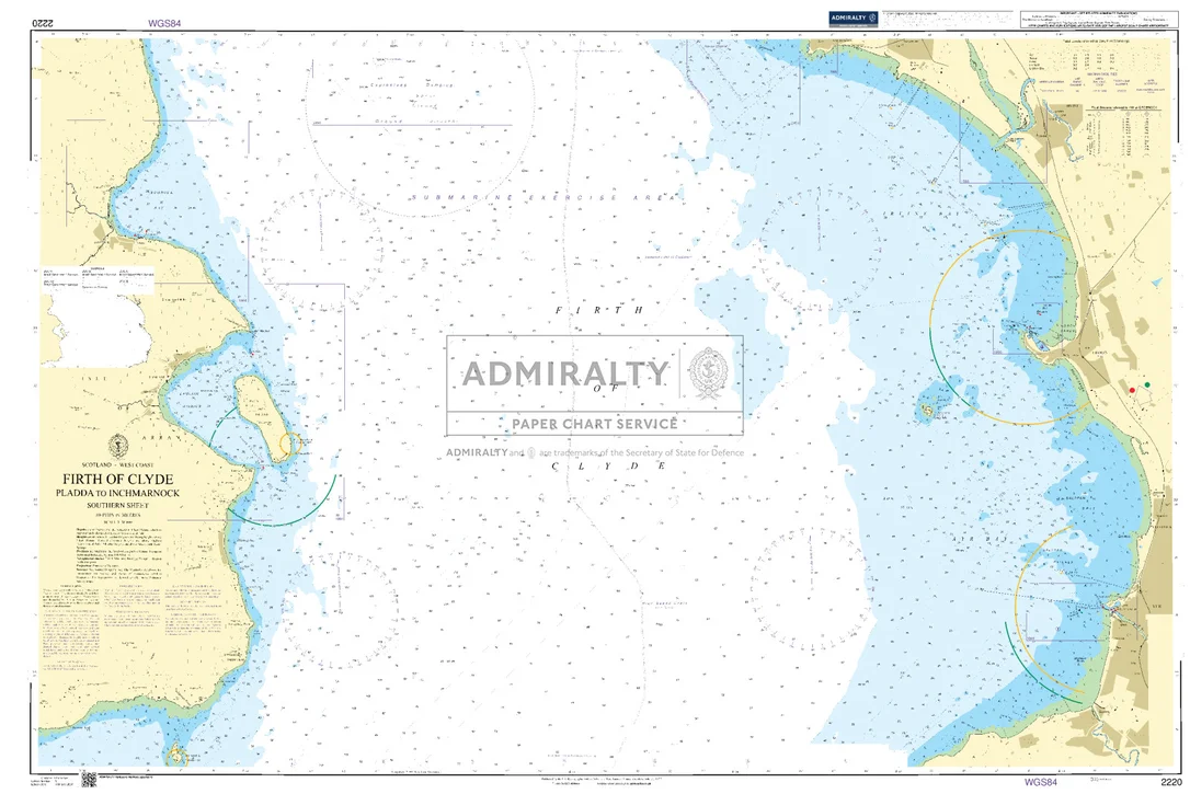 Firth of Clyde Pladda to Inchmarnock Southern Sheet. UKHO2220
Reviews
There are no reviews yet.