


Description
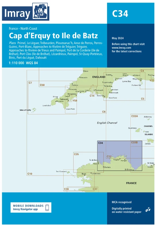
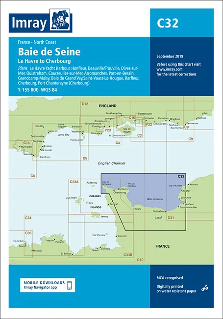
Die Faltkarte C34 Cap d’Erquy to Ile de Batz deckt die Nordküste der Bretagne von Roscoff bis Erquy ab. Unter anderem sind auch die Städte Morlaix, Treguier und Paimpol abgebildet. Auch die Inselgruppe “Sept Iles” und die Buchten Baie de Saint-Brieuc, Baie de Lannion und Baie de Morlaix sind auf der Papierkarte.
Die kompakten Faltkarten von Imray geben eine Übersicht über eine bestimmte Region. Als Übersegler und zur Planung einer Reise sind sie bestens geeignet. Alle Karten sind auf stabiles und wasserfestes Papier gedruckt. Die Seekarte misst 100x78cm und der Maßstab ist 1:110.000.
Folgende Detailkarten sind enthalten:
Primel (1:15 000)
Le Léguer (1:42 500)
Trébeurden (1:25 000)
Ploumanac’h (1:10 000)
Anse de Perros (1:30 000)
Perros-Guirec (1:15 000)
Port-Blanc (1:25 000)
Approaches to Rivière de Tréguier (1:45 000)
Tréguier (1:15 000)
Approaches to Rivière de Trieux and Paimpol (1:50 000)
Port de la Corderie (Ile de Bréhat) (1:15 000)
Port Clos (Ile de Bréhat) (1:10 000)
Lézardrieux (1:15 000)
Paimpol (1:15 000)
St-Quay-Portrieux (1:25 000)
Binic (1:12 500)
Port du Légué (1:20 000)
Dahouët (1:10 000)
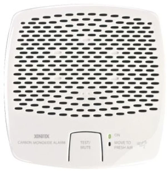 Carbon monoxide alarm Xintex 12/24 v
 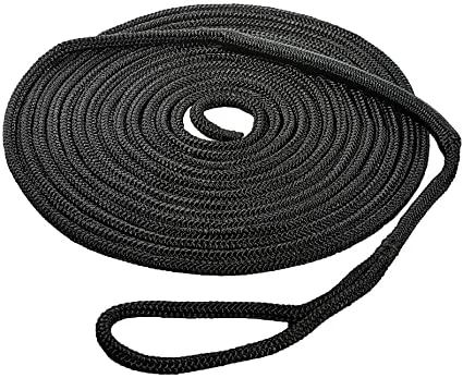 Usacord Shock-Belegleine 12-18mm
 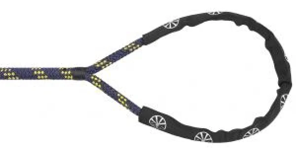 Liros Handy-Elastic weiß-schwarz-rot Ø12mm 10m
 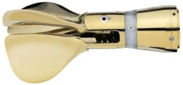 Gori Faltprop. 18x12x3LHS für Sail-Drive
 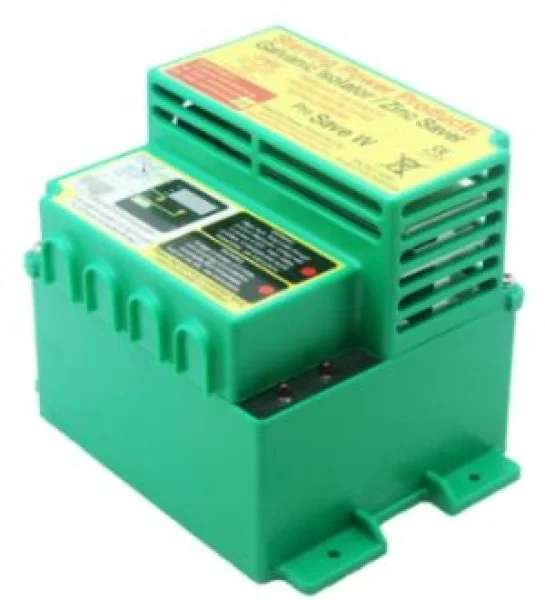 Sterling Galvanischer Isolator ProSave W 64A wasserdich
 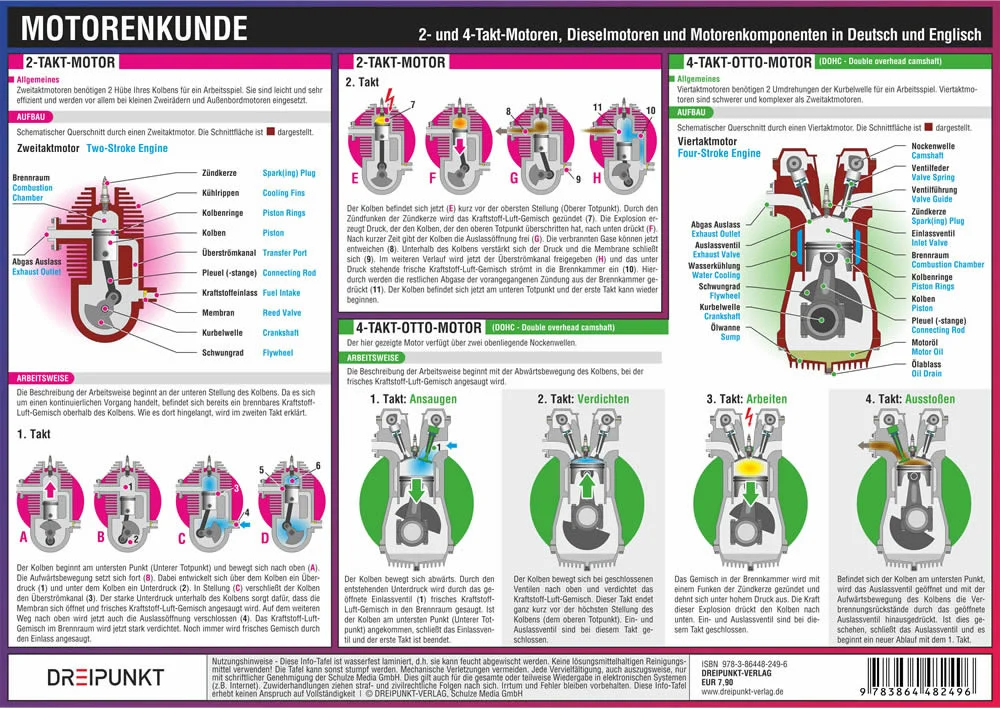 Motorenkunde
  HI-LOAD Block
  Astronavigation ohne Formeln - praxisnah
  Voltmeter, weiß 18/32 V
  Lifebelt 1,5m mit 1 Haken flach
  PSP Klebeband Isolierband PVC Tape 19mm 20m flammhemmend - JS Maritimshop & Bootsservice
 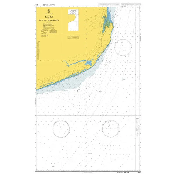 Boa Paz to Baia de Inhambane. UKHO2939
 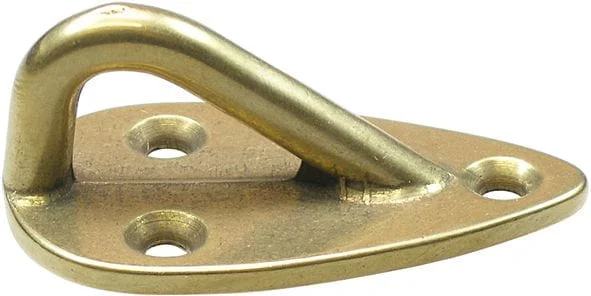 Decksauge Messing poliert oder verchromt (53x30x21mm)
 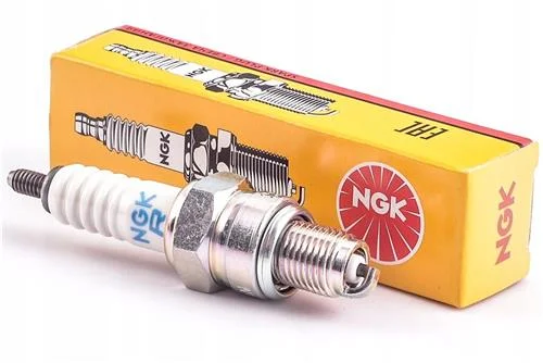 NGK Zündkerze UR4
 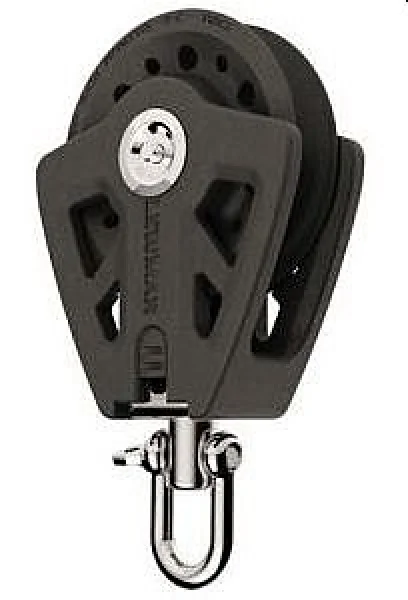 Lewmar® Synchro Einfachblock 1-scheibig
  Bügelseilklemme Draht-Ø 5 mm
  Sonnenschirm Sun Set Curtain, 940x580mm (lxb), Lukenma
  VA-Stahl Kausche Ø 12 mm
  Zhik Hydrophobic Fleece Top Herren grau, Größe M
 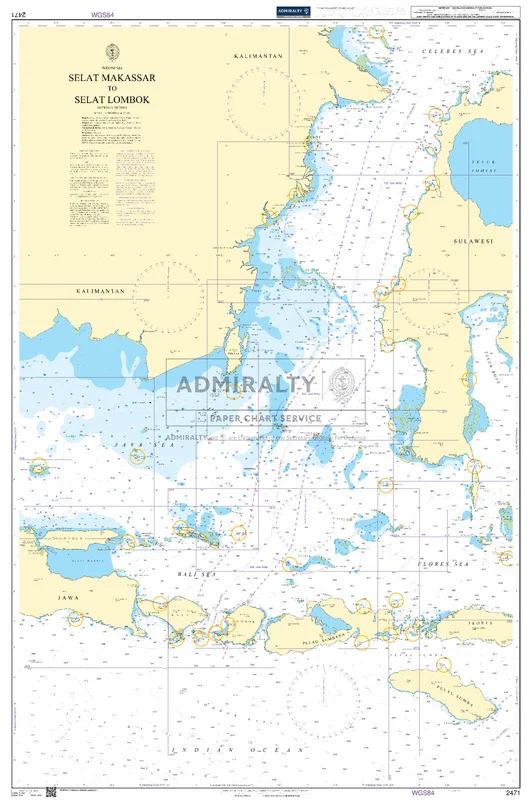 Selat Makassar to Selat Lombok. UKHO2471
 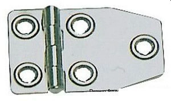 Scharnier AISI316, poliert 73x46 mm
 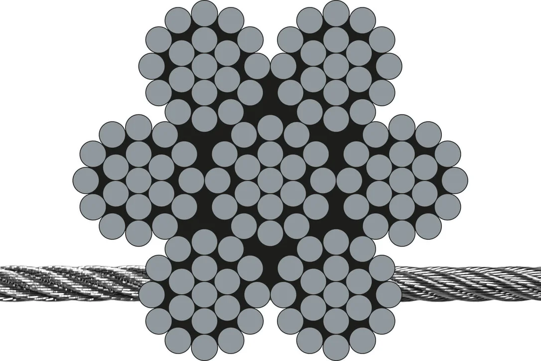 Litzendrahtseil 7 x 19 (hoch flexibel) Draht-Ø 2 mm
 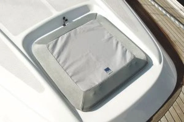 Blue Performance Lukenabdeckung 330x330mm
  Magnesiumanode f. Yamaha
 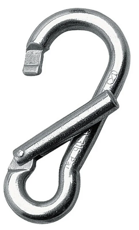 Kong Karabiner mit weiter Öffnung
 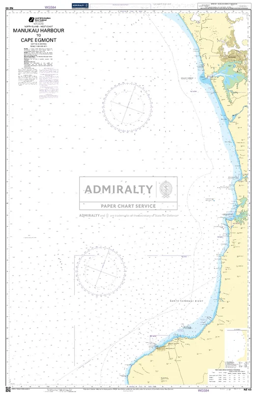 Manukau Harbour to Cape Egmont. NZ43
 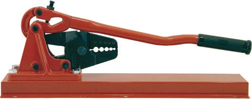 Tischpresszange
  Seewasserfilter Kunststoff 300 ltr. 1 1/2"
  Schnappschäkel AISI 316 m. Roller 69 mm
 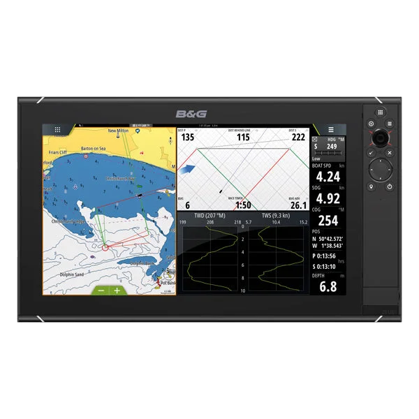 B&G, Zeus³S Navigationssystem, 16"
  Dumpy Fender NR 2 weiß
 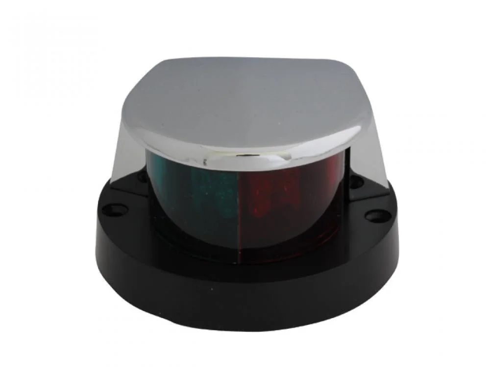 LED-Kombinationslicht
 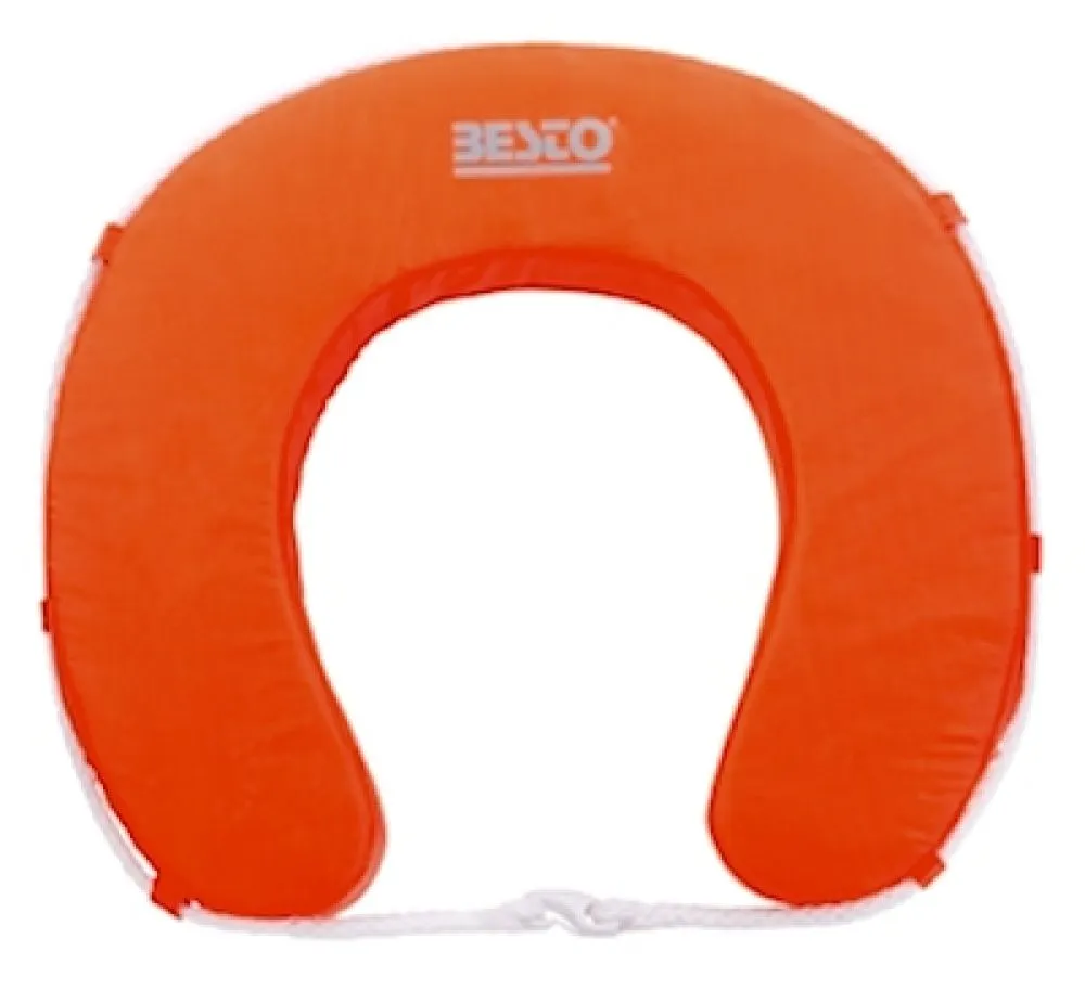 Besto Hufeisen Rettungsring 100N Wipe Clean orange gelb weiss - JS Maritimshop & Bootsservice
 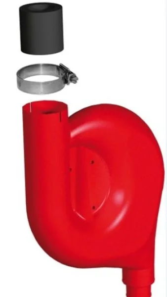 Tankeinfüllstutz-Schaumfilter
 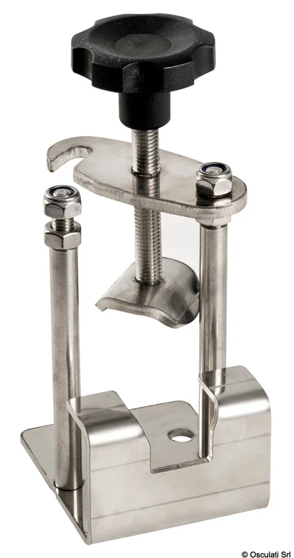 Ankerfeststeller Niro
 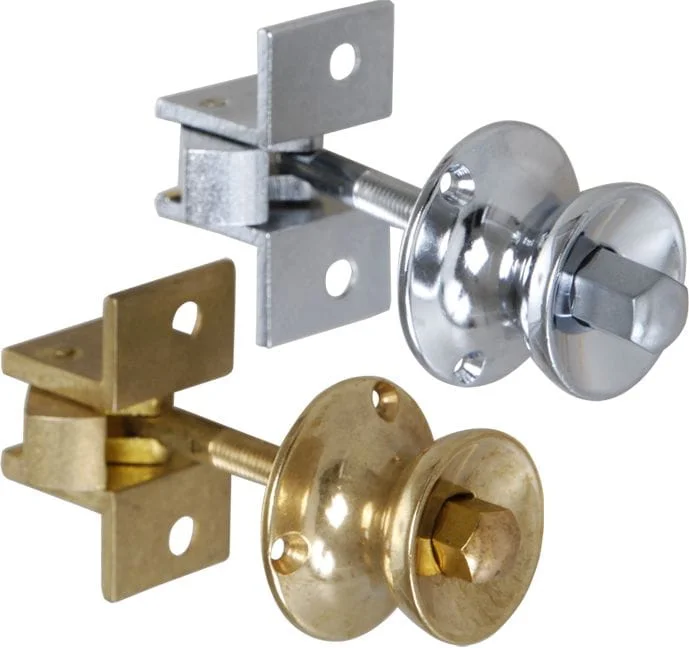 Druckknopf-Schnäpper rund
 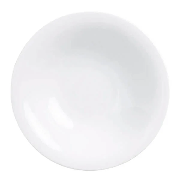 On Tour Teller tief 220 mm weiß
 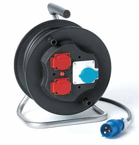 CEE-Kabeltrommel mit Schuko
 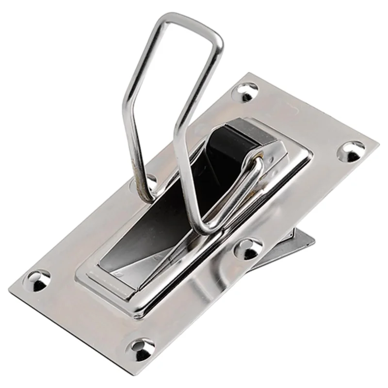 ANDERSEN ELVSTRÖM Lenzer New Large
 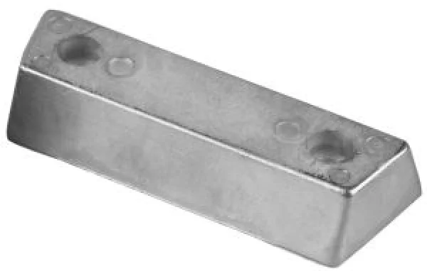 Magnesium-Fußanode Duo Prop 852835-8
 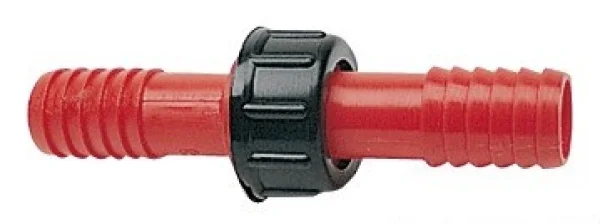 Nylonanschluss, zylinderförmig 14 mm
 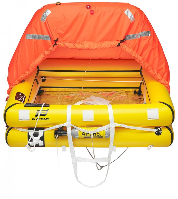 Plastimo »Transocean Plus« Rettungsinsel Offshore ISO 9650-1
 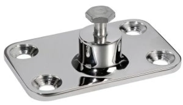 Wandbeschlag, Hochleistung AISI316 48x73 mm
 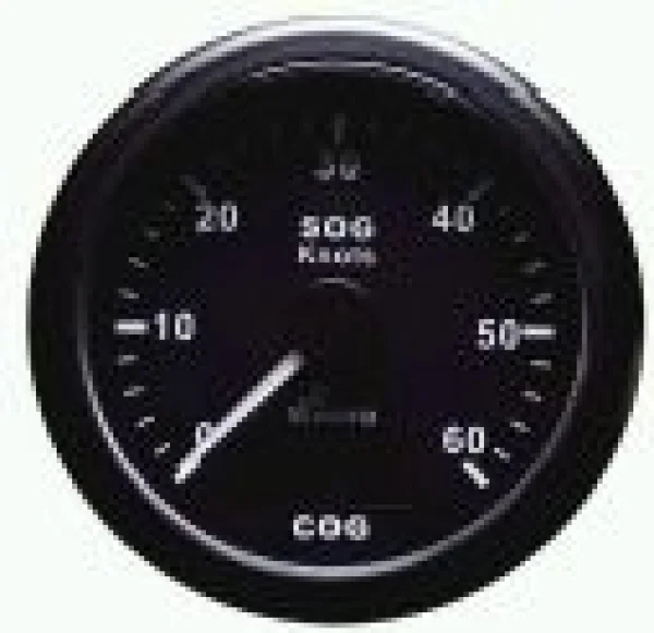 WEMA GPS-SPEED/COMP SCHWARZ 60KN
 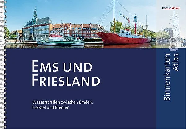 Binnenkarten Atlas 8 - Ems und Friesland
 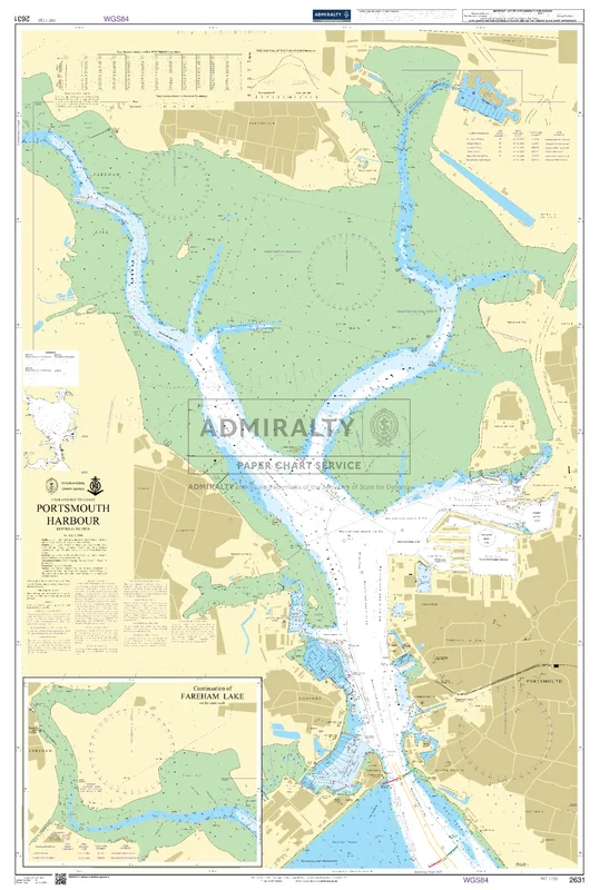 Portsmouth Harbour. UKHO2631
Reviews
There are no reviews yet.