


Description
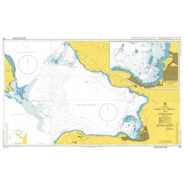
Seekarte UKHO466 – Port-au-Prince and Approaches
Die amtliche ADMIRALTY-Seekarte UKHO466 deckt als Ansteuerungskarte das Revier Port-au-Prince and Approaches im Maßstab 1:60.000 ab. Das Kartengebiet liegt im Bereich Karibik / Haiti. Abgedeckt werden unter anderem Port-au-Prince, Carrefour, Delmas, Croix-des-Bouquets und Gressier. Für die weiträumigere Planung lässt sie sich mit UKHO3935 (Windward Passage and Southern Approaches) kombinieren.
| Maßstab | 1:60.000 |
|---|---|
| Format | DIN A0 |
| Revier | Karibik, Haiti, Ouest |
| Produktnummer | 25065 |
| Hersteller-Nr. | UKHO466 |
| Herausgeber | ADMIRALTY (UKHO) |
Amtliche Seekarte nach SOLAS-Standard für die Berufsschifffahrt. Bei HanseNautic im Print-on-Demand-Verfahren mit aktuellem Berichtigungsstand gedruckt, in der Regel am Tag des Bestelleingangs versandfertig. POD-Karten sind vom Umtausch ausgeschlossen.
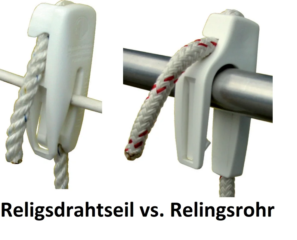 Fenderclip Fend-Fix
 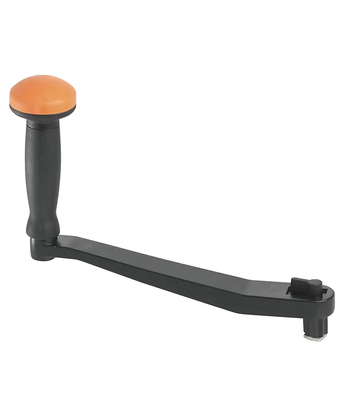 Winschkurbel aus Aluminium
  BSH 20005 Seeschifffahrtsstraßen Ordnung (SeeSchStrO) - JS Maritimshop & Bootsservice
 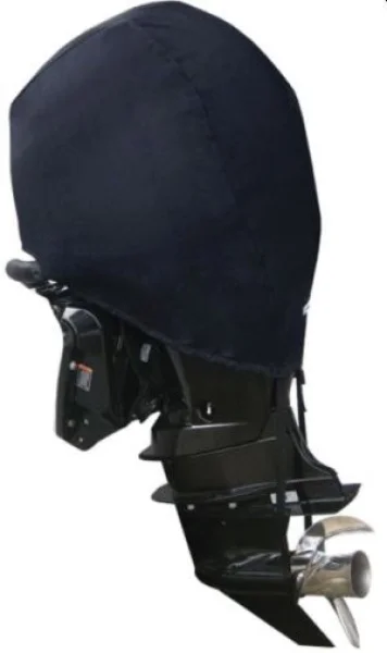 Motorabdeckung MERCURY 4T 209cc-15"
 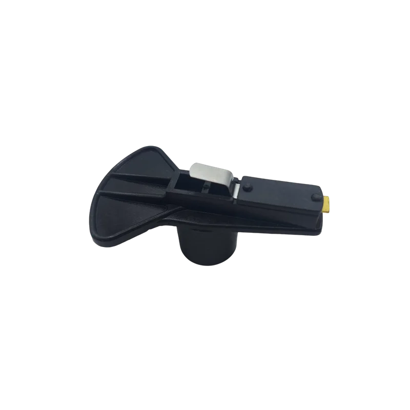 Volvo Penta 3853801 Verteilerfinger
  Revolve Waschbürste Weich
 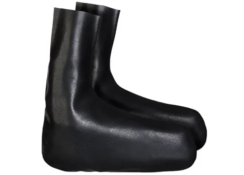 Latex Socken 39/41
 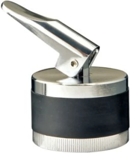 Expansionsstopfen aus Messing, verchromt 34 mm
  BSH 2347 Die Strömungen in der Deutschen Bucht Stromatlas - JS Maritimshop & Bootsservice
 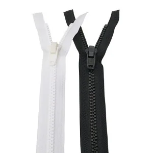 Reißverschlüsse
 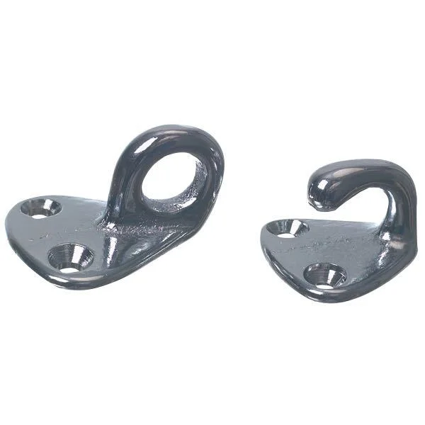 Foresti, Klammersatz 250x40, 25mm (2 Stück), Messing verchromt, Breite 45mm, Lochabstand 165mm
  Riwax RS Schaffell-Polierscheibe 165 mm
  Minn Kota RTA-62 schwere Schnellwechselplatte – weiß
  Relingschoner, royal blau 150 cm
  Spleißservice Augspleiß / Auge ohne Mantel
 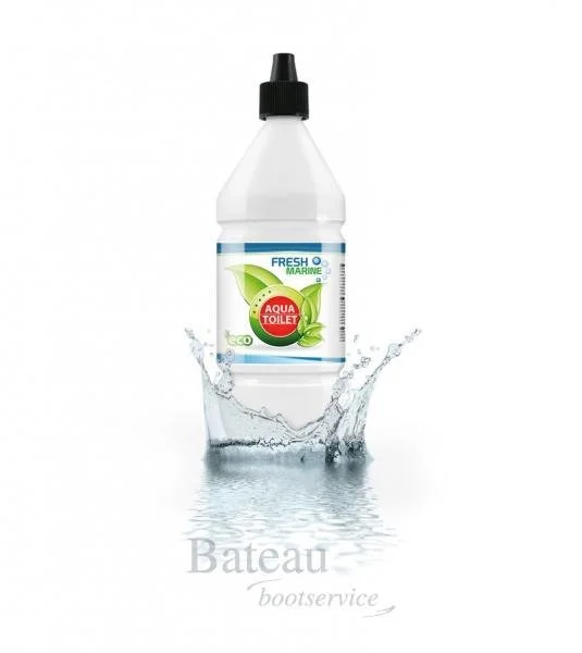 Fresh Marine Aqua Toilette 1 Liter
 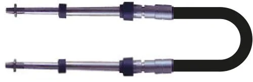 Schaltkabel TFXtreme CC633 19 ft
 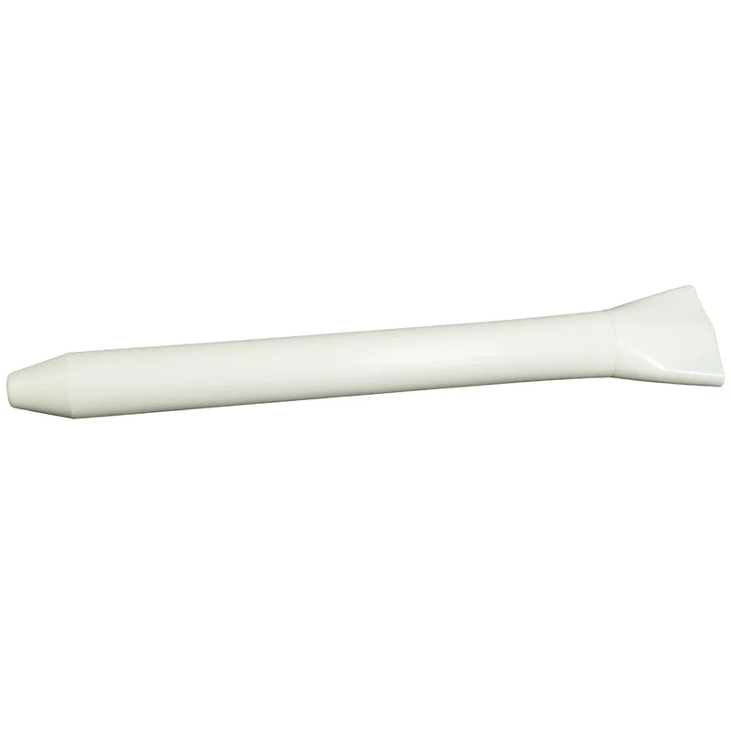 Wantenspanner-Schoner 1 Stück
 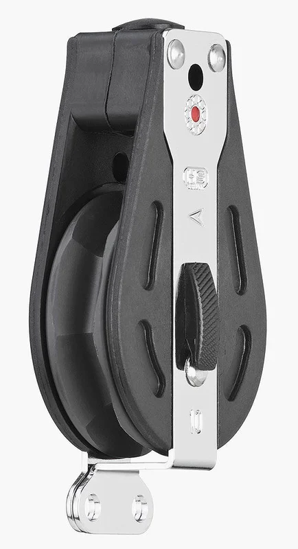 Ratschenblock liegend, BB
 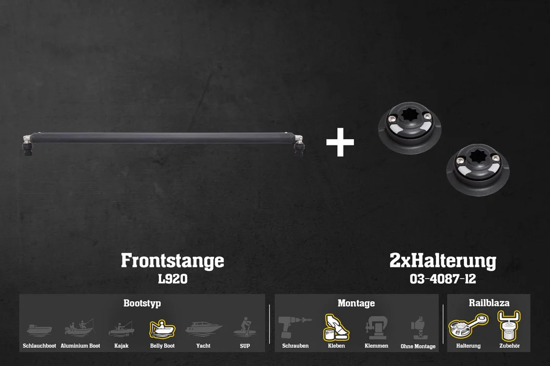 [Set] Set: Railblaza Frontstange (Ø32 mm) + 2x QuikPort Bellyboot Frontbar Kardan | Lotu
 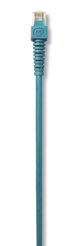 Mastervolt MasterBus Kabel
 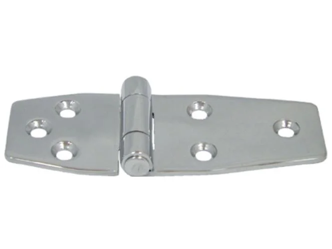 Scharnier Typ 8578
  Raymarine Alpha Performance Masthalterung
 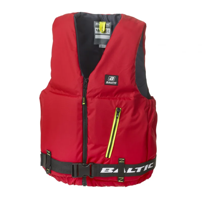 Baltic Axent
 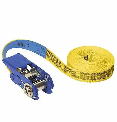 Ratschenzurrgurt
Reviews
There are no reviews yet.