


Description
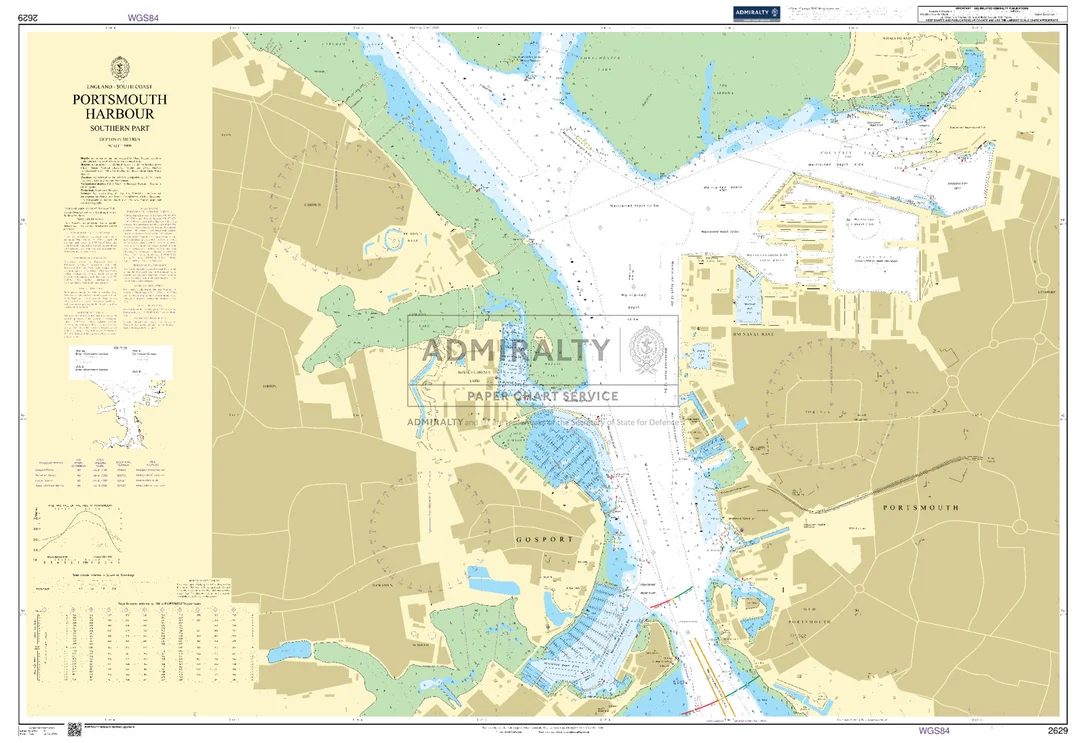
Seekarte UKHO2629 – Portsmouth Harbour Southern Part
Die amtliche ADMIRALTY-Seekarte UKHO2629 deckt als großmaßstäbliche Hafenkarte das Revier Portsmouth Harbour Southern Part im Maßstab 1:5.000 ab. Das Kartengebiet liegt im Bereich Ärmelkanal / Großbritannien. Abgedeckt werden unter anderem Portsmouth und Gosport. Für die weiträumigere Planung lässt sie sich mit UKHO2631 (Portsmouth Harbour) kombinieren.
| Maßstab | 1:5.000 |
|---|---|
| Format | DIN A0 |
| Revier | Ärmelkanal, Großbritannien, England |
| Produktnummer | 26624 |
| Hersteller-Nr. | UKHO2629 |
| Herausgeber | ADMIRALTY (UKHO) |
Amtliche Seekarte nach SOLAS-Standard für die Berufsschifffahrt. Bei HanseNautic im Print-on-Demand-Verfahren mit aktuellem Berichtigungsstand gedruckt, in der Regel am Tag des Bestelleingangs versandfertig. POD-Karten sind vom Umtausch ausgeschlossen.
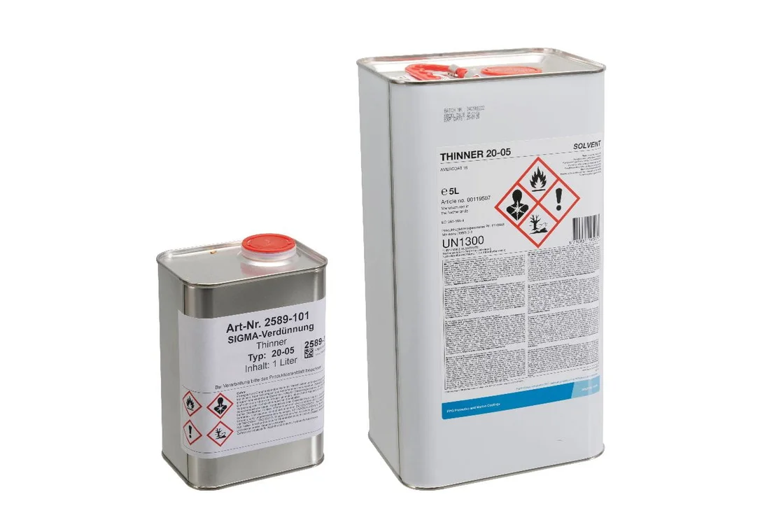 SIGMA Verdünnung 20-05
  Serie Euro black
 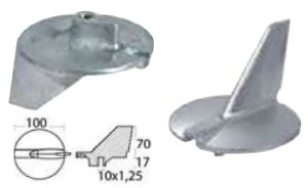 Richtungsanode aus Magnesium f. Yamaha 225/300 PS
 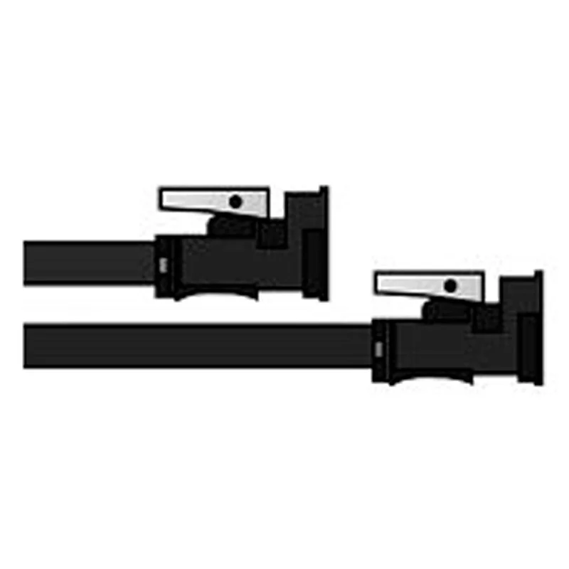 2m Treibstoffschlauch
 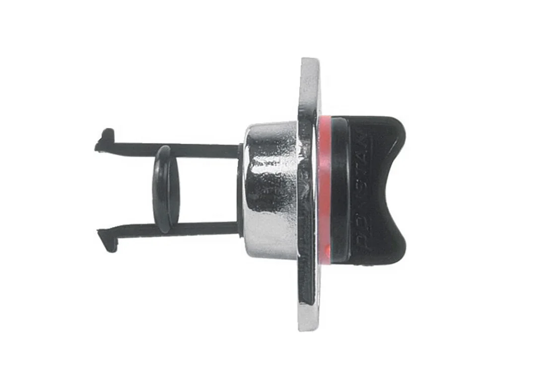 Decksdurchführung verchromt 3/4 Zoll 24mm
 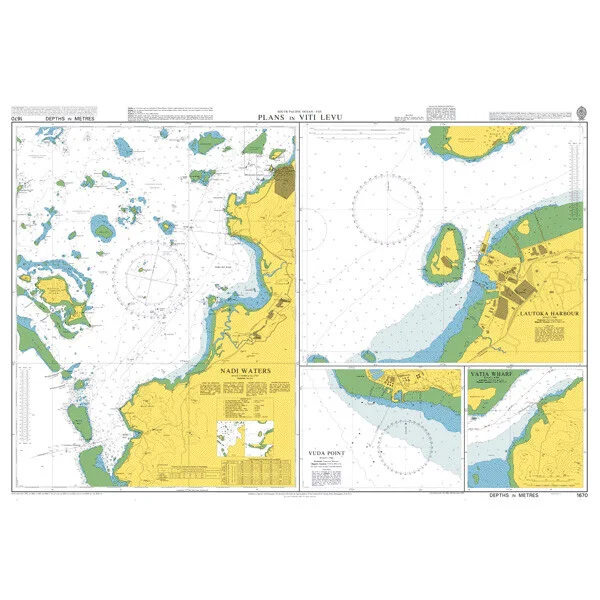 Plans in Viti Levu. UKHO1670
 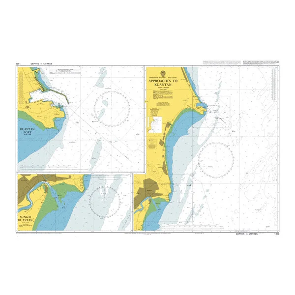 Approaches to Kuantan. UKHO1379
  Gasschlauch 10mm 20bar 100m, 1000 mm
  Mittlere Schleifpads, blau (paarweise)
 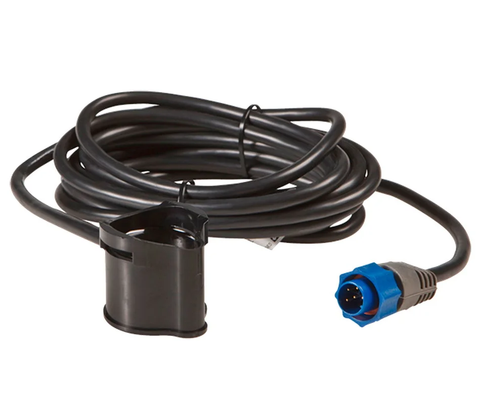 Lowrance PDT-WBL mit Temperatursensor
 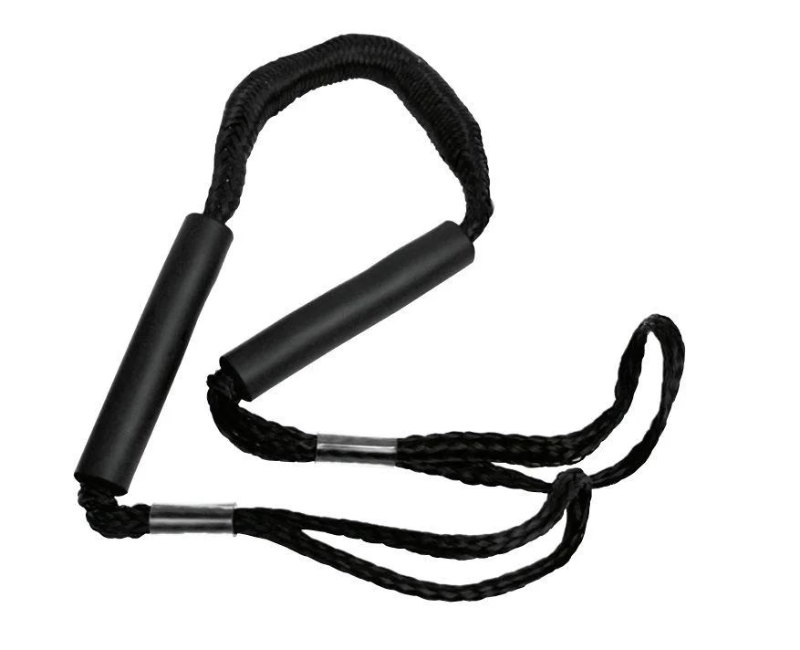 Attwood Mooringleine 120-165 cm schwarz
 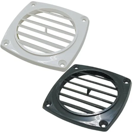 Lüftungsgitter
 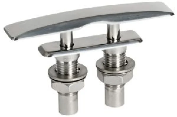 Flat flache verdeckte Klampe 330x61 mm
 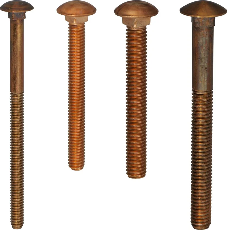 Schlossschrauben UNC Bronze
  Vetus Hydr Hauptregeleinheitfür HT1010 2stufig
  NGK Zündkerze BPR6HS
 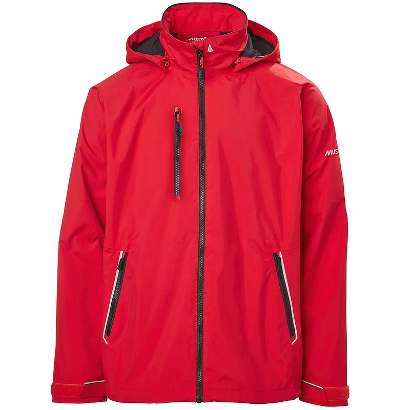 Musto Sardinia 2.0 Jacke
 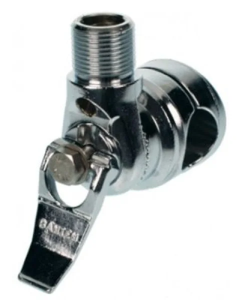 BANTEN - Relingskippgelenk - Messing verchromt
 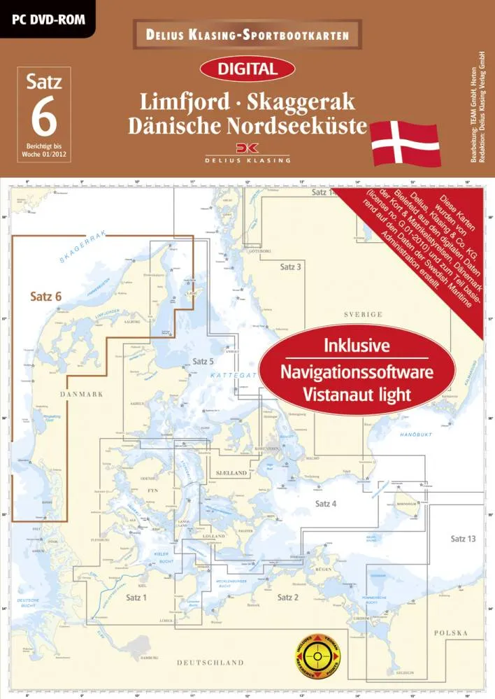 Delius Klasing Digitale Seekarte Satz 6 Stand 2012 Limfjord Dänis - JS Maritimshop & Bootsservice
  ecoworks ecowashroom & toilet cleaner Reiniger
 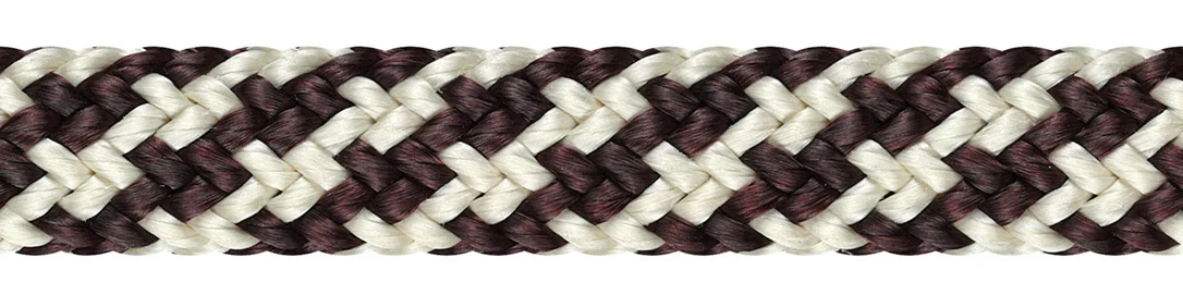 Racer XTR 2008
 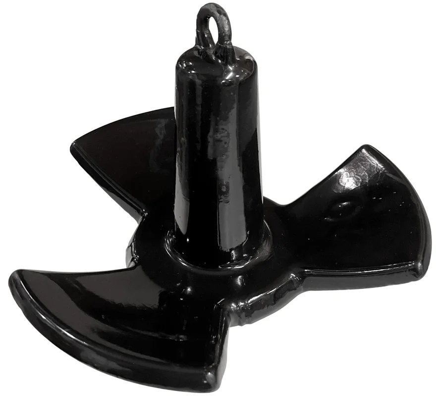 Flussanker 9,1 kg
 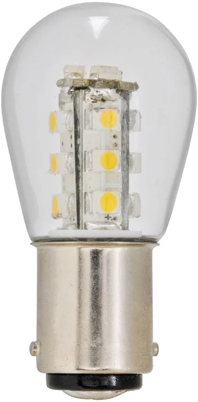 LED Leuchtmittel Ba15 10-30 V
 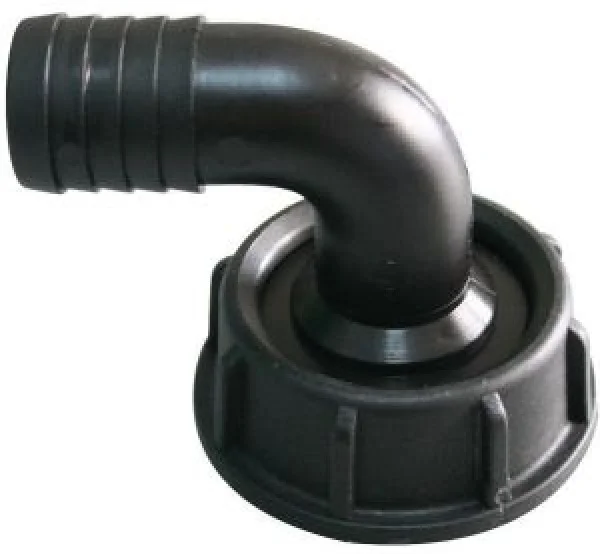 Nuova Rade Füllstutzen 90° Anschluss D=1 1/2'' für Schl
  PVC Dünnwandkabel 1x2.5mm² grün 50 m
Reviews
There are no reviews yet.