


Description
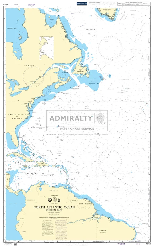
Seekarte UKHO4013 – North Atlantic Ocean Western Part
Die amtliche ADMIRALTY-Seekarte UKHO4013 erfasst als großräumige Übersegelkarte das Seegebiet North Atlantic Ocean Western Part im Maßstab 1:10.000.000. Sie deckt einen großräumigen Abschnitt im Bereich Nordatlantik ab und dient vor allem der Passage- und Routenplanung über See. Für noch größere Seegebiete lässt sie sich mit UKHO4004 (A Planning Chart for the North Atlantic Ocean and Mediterranean Sea) kombinieren.
| Maßstab | 1:10.000.000 |
|---|---|
| Format | DIN A0 |
| Revier | Nordatlantik |
| Produktnummer | 27493 |
| Hersteller-Nr. | UKHO4013 |
| Internationale Nr. | INT 13 |
| Herausgeber | ADMIRALTY (UKHO) |
Amtliche Seekarte nach SOLAS-Standard für die Berufsschifffahrt. Bei HanseNautic im Print-on-Demand-Verfahren mit aktuellem Berichtigungsstand gedruckt, in der Regel am Tag des Bestelleingangs versandfertig. POD-Karten sind vom Umtausch ausgeschlossen.
 Sierra Polyester Zündschloß, 3-Positionen, off-run-star 5/8
 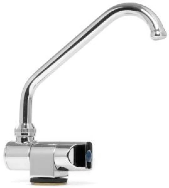 Drehhahn Serie Slide hoch Kaltwasser
 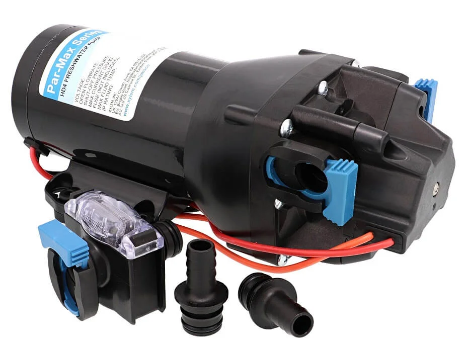 Druckwasserpumpe Par-Max HD5 12V
 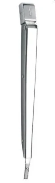 Vetus Scheibenwischerarm, Niro, 395-481 mm
  Whale DuscheTwist Wasser warm/kalt, eckig, grau
 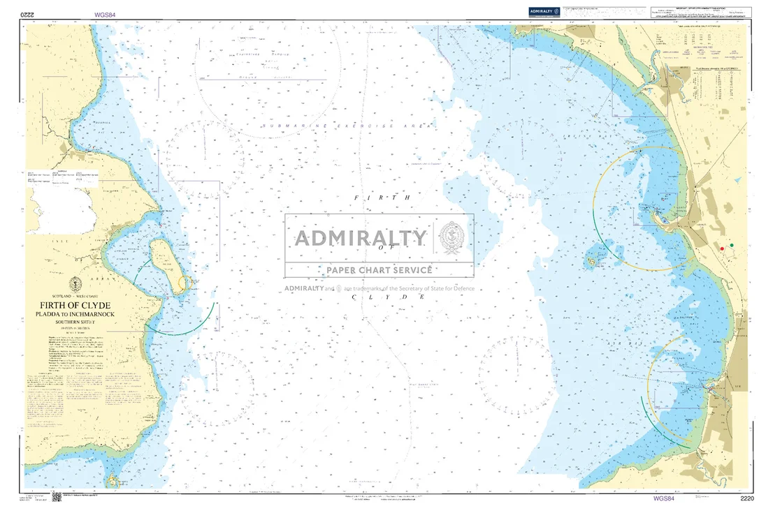 Firth of Clyde Pladda to Inchmarnock Southern Sheet. UKHO2220
  HH HP Ocean 2.0 Jacke Damen
Reviews
There are no reviews yet.